Goals are funny things.
I have seen it written before that a goal without a plan is just a wish. Or a dream. But once you put the wheels in motion, and execution of the goal becomes a part of your reality, you never really know where that goal is going to take you.
For me, in this particular circumstance, the macro-goal is to touch the highest point in each of the six US Districts and Territories. Thus far, I have reached the highest bit of land in Washington DC (2006), Puerto Rico (2008), the US Virgin Islands (2025) and Guam (2026), leaving me with “just” two tough ones to go. American Samoa and the Northern Mariana Islands.

I have always considered myself good to above average with map and compass, completing various Northeastern USA lists across the decades that included more bushwhack peaks than I have ever tried to count. But during 2025, with the three far-flung Pacific Ocean territories in my immediate front view mirror, I finally decided the time had come to become competent with GPS.
To that end, I purchased a Garmin 67i as a birthday present to myself, paying partially with a Bass Pro Shop gift card that my in-laws had given me upon turning 56 last year. I played with it, loaded maps, watched youtube videos but never truly used it for navigation during the rest of the summer of 2025.
And then it stayed in my backpack even as I struggled with route-finding on Mount Lamlam, Guam in April of 2026.
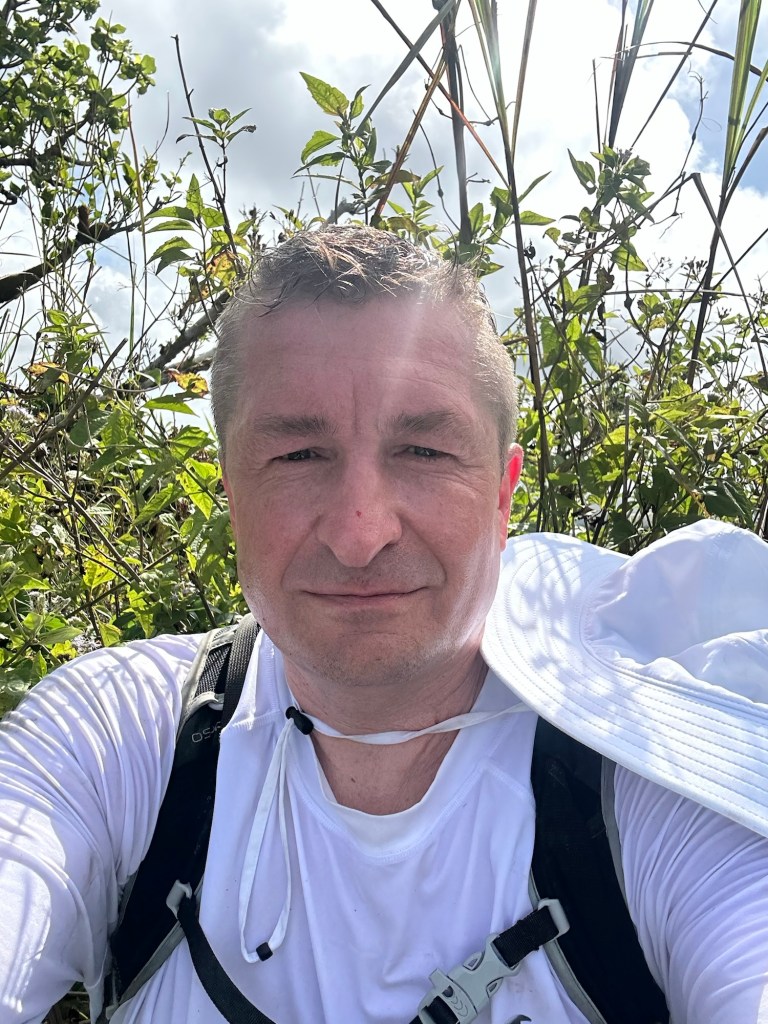
Dude. Bro. Not acceptable.
So, upon returning from my ultimately successful Guam adventure, I decided to find a project that would require me to get better with technology in the mountains. Enter county highpointing … stage left.
I do not consider myself a county highpointer, but as one of my mountain-climbing contacts once told me: “You sure do wind up on a lot of county highpoints for someone who isn’t interested in county highpointing.” Guilty as charged.
To be specific, as of the spring of 2026, I had visited the highest ground in 15 of New York State’s 62 counties. All but one qualified as a legitimate mountain and all had maintained trails. To that point, I had avoided the trail-less NY COHPs because, ya know, why would a non-county highpointer go thrashing about in the woods in search of a county highpoint?
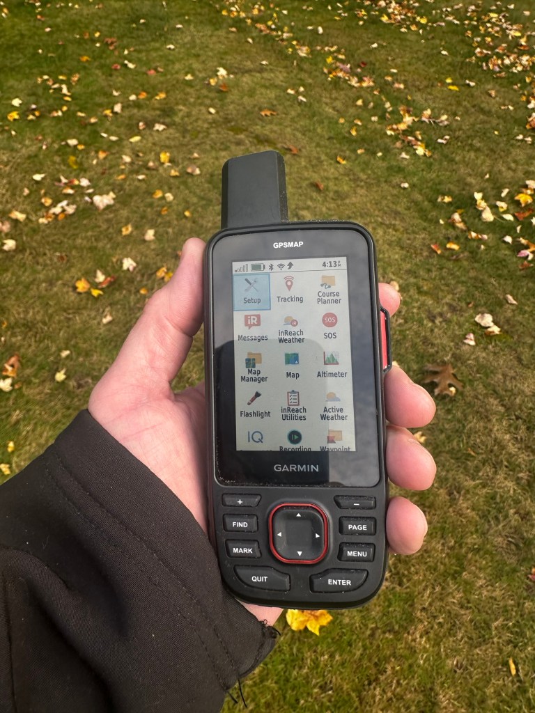
But things had now changed and NYS county highpointing suddenly seemed like a worthy summer project to me. A micro-goal to help me in the achievement of my macro-goal.
I decided to start with my home county of Saratoga.
I had once before attempted a hike of Tenant Mountain in the far northwestern quadrant of Saratoga County. The year was 2013 and my mountain goals at the time were more alpine in nature … so when I encountered what I judged to be a “crappy winter bushwhack” of an insignificant mountain, I quickly lost interest.
But on the morning of May 8th, 2026, I found myself back at the Harrisburg Lodge near Stony Creek, Warrensburg County, where I parked on the side of the road and made way over to Leon Lane for the start of an uncertain journey back south across the county line to the 2,769-foot zenith of the county I’ve called home for more than four total non-consecutive decades of my life.
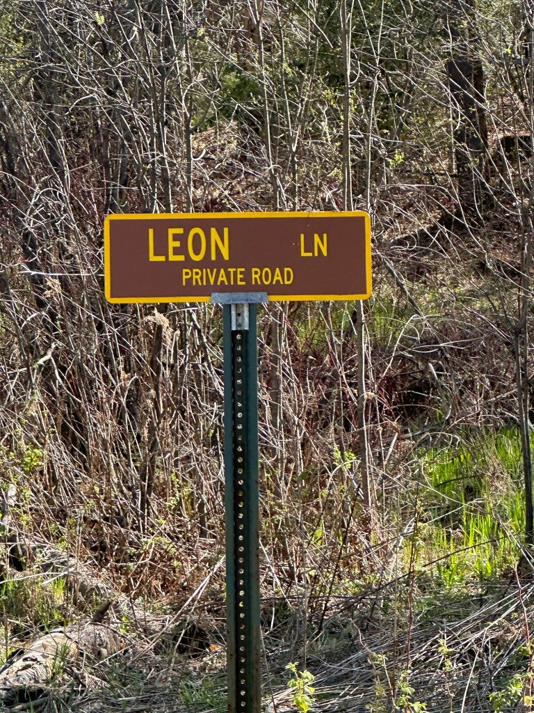
I had done my homework and knew the dirt road would eventually turn into an ATV trail and then to a myriad of unmarked paths to a final rigorous bushwhack on technically private but unpoliced logging company property.
Perhaps I had too much beta in my head. So instead of breaking out my GPS (the entire point of the whole thing), I relied instead on everything I had read and scanned for key landmarks, picking them off systematically and methodically. It’s hard to teach an old dog new tricks.
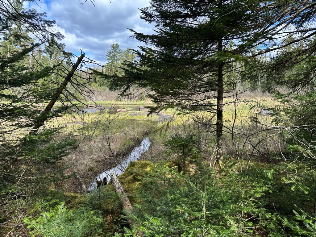
And then, I screwed it up. I was looking for trees with red-blazed property line markers at a point where “the path suddenly stops.”
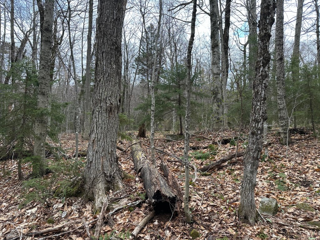
Deadfall. Huge tree down across the unmarked path. Massive. And red-blazed trees leading to my left steeply uphill. Is this it? I investigated, diving down into the woods and then back up to find that the path continued. What to do? I could see where someone might think the trail ended at the deadfall but decided to follow the path awhile longer. Eventually everything became flat and I decided to double back to the deadfall. The GPS remained in my pack. So stupid.
Long story short, I climbed the wrong mountain that day. An unnamed mountain peak attained after a steep bushwhack that gained more than 1,000 feet in elevation … riddled with cliffs and objective danger. It’s entirely possible that I was the first person to ever reach that obscure summit. But it wasn’t the highpoint of Saratoga County.
F.
Nice job, Mr. 50-state completer. You’re now pulling an 0 for 2 in your home county.
I posted about it on the County Highpointers Facebook page. As the saying goes … don’t tell me about your successes, tell me about your failures. Own it. So that’s what I did. And it was cool. I was good-natured about the teasing that followed.
Eight short days later, I was back for what would ultimately prove to be one of my most awful days in more than 30 years of hiking and mountain climbing. After summiting Tenant Mountain in fairly good style on May 16th thanks in part to the GPS, I stupidly stopped paying attention to my Garmin and promptly lost the route during the descent.
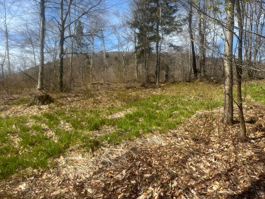
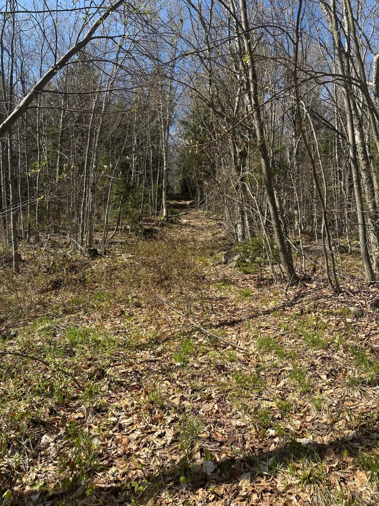
I re-oriented myself but got off course again. Like way off course. OK. Lock in. Use the damn GPS, you moron. I became badly dehydrated to the point of cramping, collapsed in exhaustion, was swarmed with black flies and became utterly miserable before ultimately emerging from the woods, battered but not broken. A true come to Jesus kind of day. “It was so hard,” I would later tell my wife, struggling to maintain just the slightest bit of British understatement. But guess what? I was forced to learn GPS. Mission accomplished.
I dutifully logged my ascent on my Lists of John page and upon doing so, couldn’t help but notice that Tenant qualified as my 99th lifetime county highpoint. My first had been New York State and Essex County highpoint Mount Marcy way back in 1993. I thought for awhile about what I’d like to do for my 100th and decided there would be nothing more appropriate than a visit to the highpoint of the County of New York. Manhattan. An urban adventure.
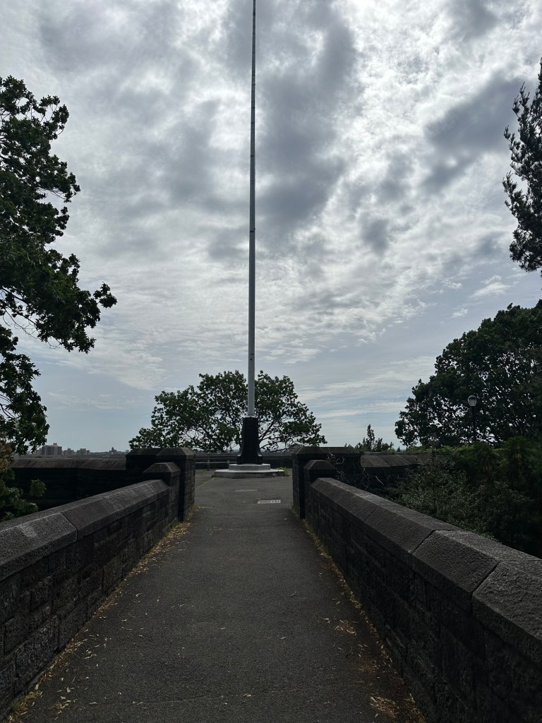
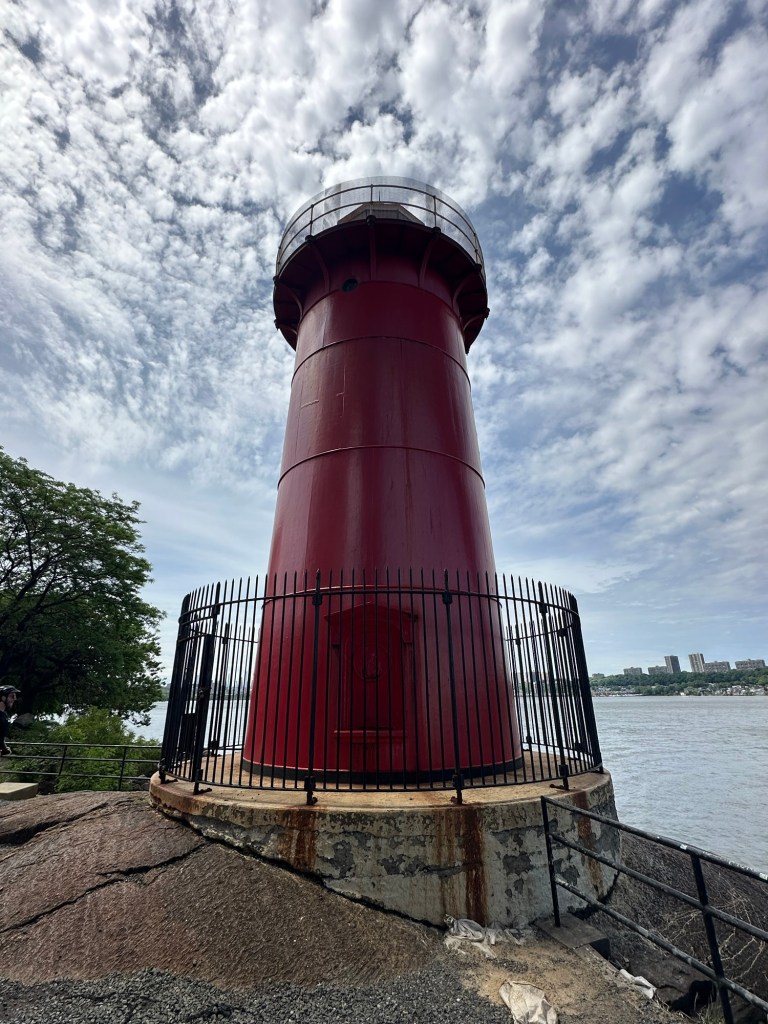
The high point of Manhattan isn’t really a matter of debate as far as I know. At 265 feet above sea level, a small rise within Bennett Park is so-marked in stone. For some reason, however, Lists of John rates the flagpole area within the very nearby Fort Tryon Park as the New York County highpoint. And since I wanted credit on my LOJ profile page, I opted to visit both points. While I was at it, I would also walk over to the Little Red Lighthouse under the George Washington Bridge. Summit to sea. Or river. Something like that.
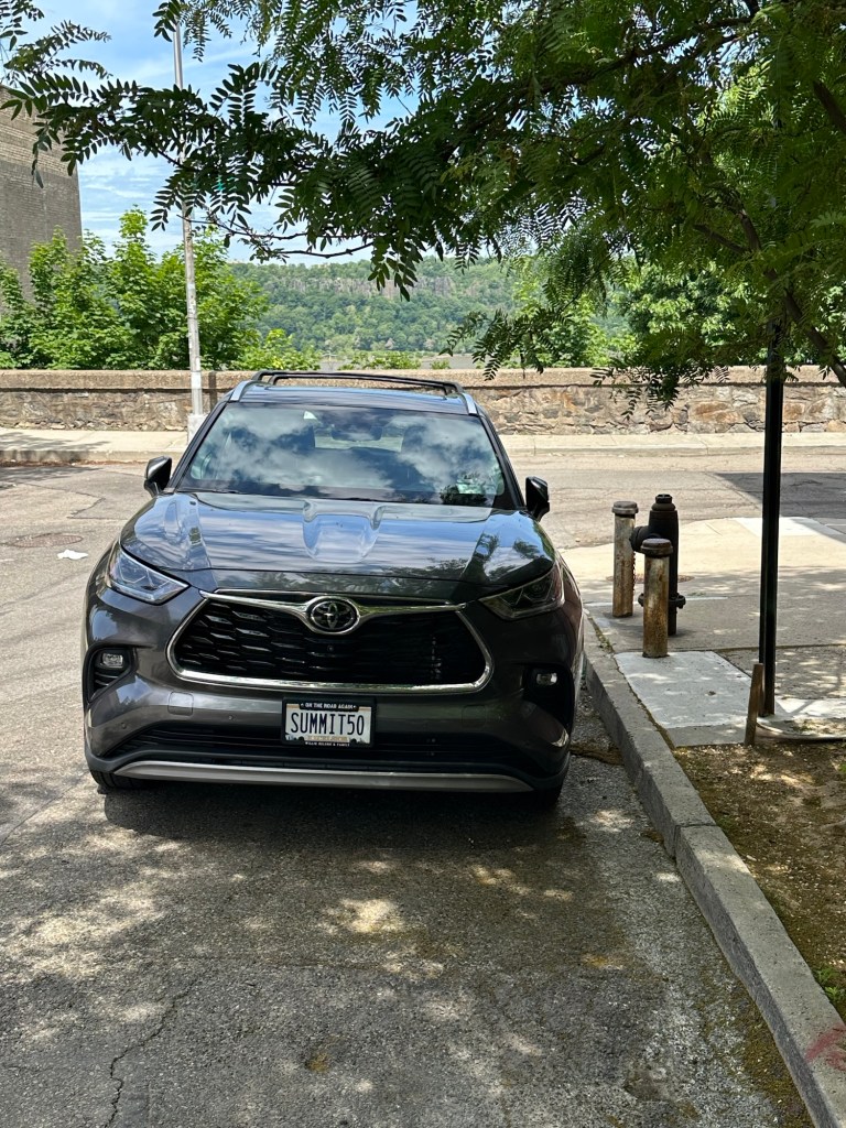
So on May 22nd, a beautiful spring day, I pointed my car south on the New York State Thruway and looked forward to a hike somewhat less intense than my recent twin experiences on Tenant Mountain. My biggest challenge of the mini-adventure would prove to be finding a parking spot on a busy Friday mid-morning in the Fort Washington area of Manhattan. After having little luck along Fort Washington Avenue, I worked my way over to a sleepy residential section and found a questionable spot at the intersection of Chittenden and West 186th overlooking the Hudson River right at 10 AM.
Less than 10 short minutes later, I was the King of New York. I lingered just a tiny bit within the small park where children played and old folks sat. I took a bunch of photos and made sure to step on the highpoint stone.
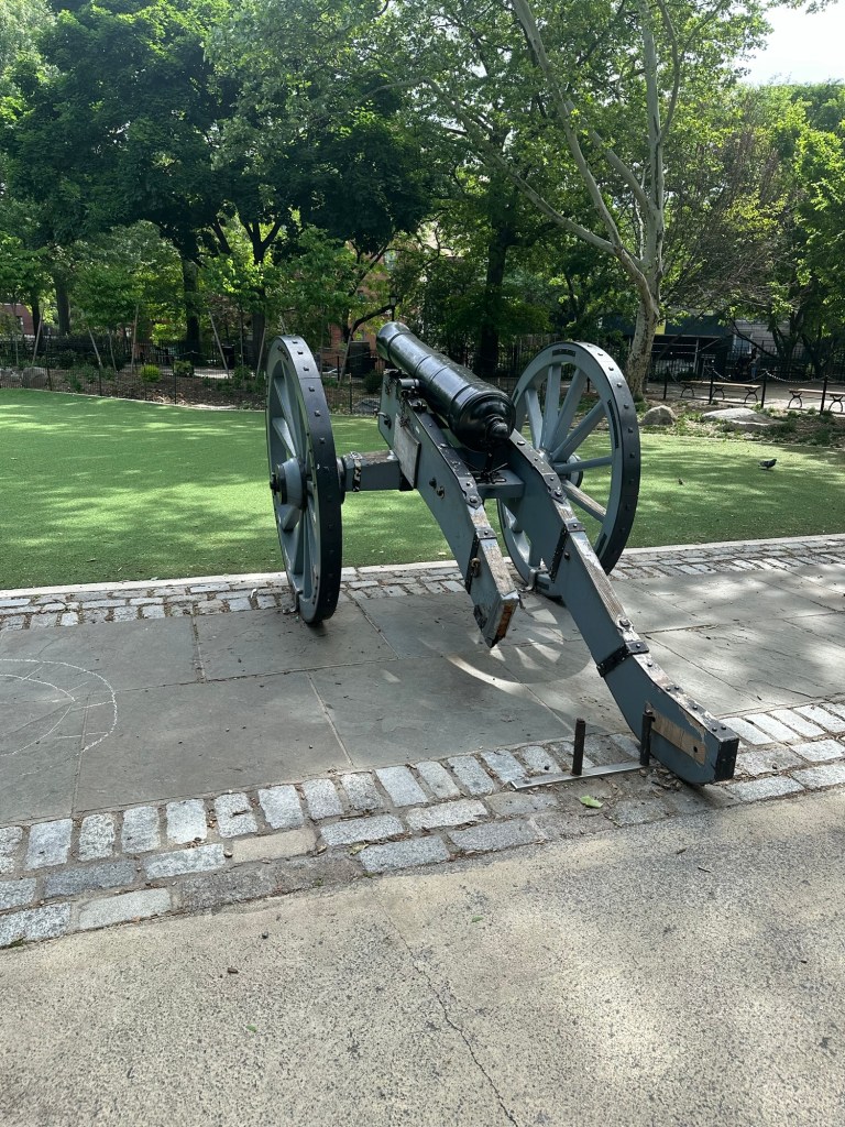
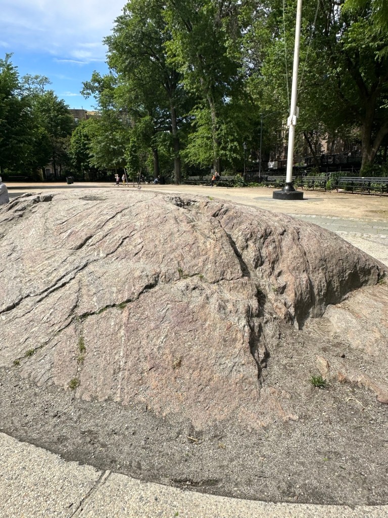
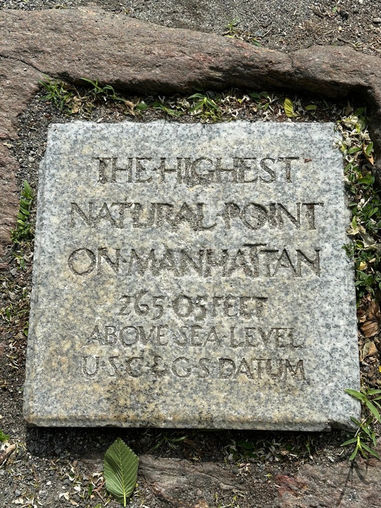
Once satisfied, I exited Bennett Park and began my short walk along Fort Washington Avenue and arrived at the highpoint area within Fort Tryon by 10:30 AM. Substantially larger acreage-wise than Bennett Park, Fort Tryon did have a bit more of a feeling of vertical relief with some views to the streets and terrain below.
I soon returned for a second pass through Bennett Park and then made my way back to the car. Happy to find it had not been towed, I promptly repositioned my Toyota Highlander to a better, less sketchy parking spot. From here, it was on to the Little Red Lighthouse, which proved to be the perfect ending to my little adventure. It was a good reset kind of a day.
Anyone who knows me well knows what a huge fan of the Rocky franchise I am. I’ve seen all of the Rocky and Creed movies multiple times and will sometimes try to parallel my own little life experiences to what transpired on the big screen in those unforgettable boxing dramas. This is one of those times. After my two mighty battles with Tenant Mountain (Rocky 1 and Rocky 2 versus Apollo Creed), the rest of my summer would play out like the opening medley in Rocky 3 where Stallone’s character knocks out one opponent after the next with little difficulty. My NY County highpoint experiences would follow a similar pattern over the next two months.
At 3,423 feet, Huntersfield Mountain in the northern Catskills ranks as the 9th highest county highpoint in New York State. Situated on the border of Greene and Schoharie Counties, the summit of Huntersfield sits atop Schoharie County, but not Greene County, where many Catskill 3500 Club peaks rise to greater heights.
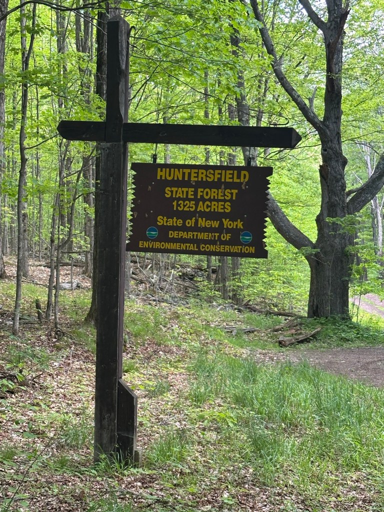
I started a fairly straightforward hike at about 9:20 AM on the morning of May 28th. After choosing to park off in the grass near the intersection of Schrader Road and Jim Cleveland Road, I began a pleasant walk down a dirt lane, soon crossing into the Huntersfield State Forest, where the elevation gain became steady and gradual. After about a mile and a half of hiking, I reached a height of land where there exists a large turn around spot that looks like it may sometimes double as a target practice area.
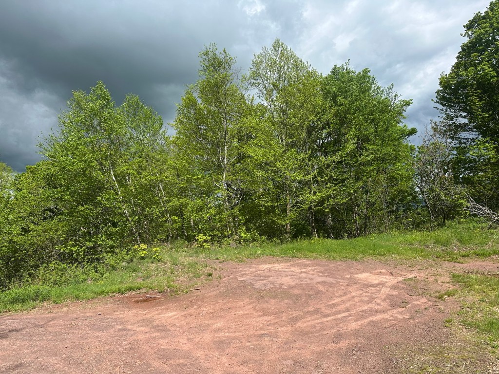
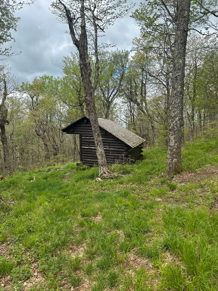
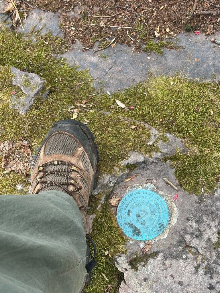
From here, I followed some yellow-blazed double track for maybe a half of a mile until I reached a lean-to just below the summit. I then cut uphill and off-trail, locating the USGS marker on top of Huntersfield Mountain right around 10:35 AM after investigating several wooded suspects. I was back at my car by noon with my iPhone logging a total of 4.6 miles for the effort.
The spring weather remained beautiful and I chose to keep my forward momentum going the following day (May 29th) with a visit to the hilly terrain sitting atop Albany County. Although Pond Hill currently holds the top spot in the county that is home to NY’s State Capitol of the same name, it wasn’t always that way. For most of my life, Henry Hill was considered to be the roof of Albany County, but alas, it was also the site of a working rock quarry and common wisdom is that the top was simply lopped off, thus shrinking the summit. The net result is that Pond Hill sits at 2,169 feet while Henry Hill now comes in 10 feet shorter. But similar to the New York County situation with Battle Hill and Fort Tryon, these two not-so-high highpoints sit just a handful of miles away from each other near Rensselaerville, NY. So once again, I decided to visit both.
My day began with a pleasant southerly drive that traveled the same roadways as the previous day during the first 45 minutes. Eventually the route towards Renssalaerville broke off and I arrived in the vicinity of Pond Hill around 9:45 AM. I tried to find a spot to park that would require me to walk a bit to reach the highest ground, but it was all private camps so I parked at the big radio tower at the intersection of Pond Hill Road and the Crystal Lake right-of-way. I knew the highpoint sits on wooded private property and began down the driveway with the intent of knocking on the owner’s door to ask permission. I was only about 50 feet from the road when the owner came driving up to me on his way out. We had a brief exchange and he told me it was fine to visit and hastily pointed off in the general direction of the highest ground.
It wasn’t much of a hike, really. Just a little walk through the pathless woods to an unremarkable mound. Done and done.
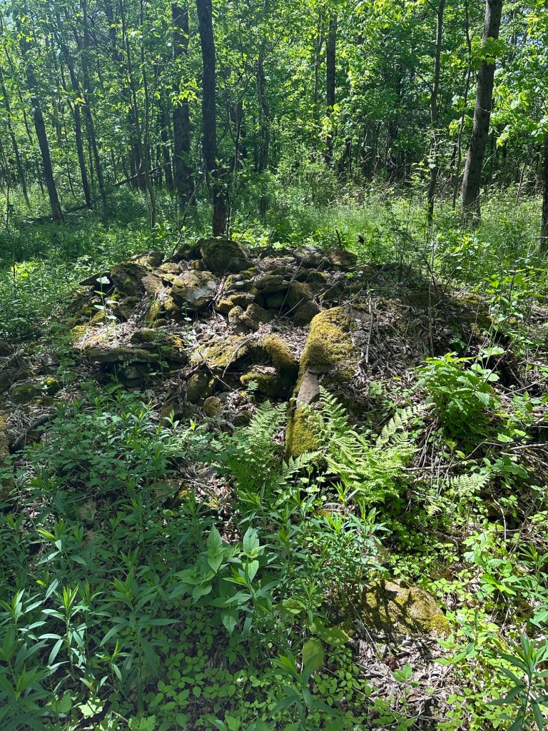
Henry Hill would actually prove to be a little more adventurous. There were two suspects to be exact. The first was the site of the old quarry and the second is within the very nearby Partridge Run Game Management Area. Due to the quarry activity, the original HP site is not only no longer the highpoint of Albany County, but it’s not even the highest point on Henry Hill itself anymore. Sheesh.
I hit the quarry area first, snapping my first pic at 10:38 AM and spending maybe 15 minutes checking out all the various small rock rises that could be the highest point of what remains. No one was around and it was hard to visualize the active mining work that once took place here.
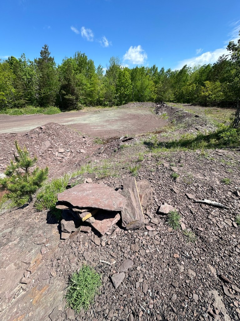
From there, it was a short drive south along the dirt Boys Camp Road where the road then curled easterly and slightly back north around the highpoint area to multiple small parking areas. I chose the first, mostly because I didn’t realize there were two. I explored around both on and off trail and was slightly amused by the bird sanctuary area that offered no birds to be seen or heard due to recent nearby clear-cutting. No partridges in the Partridge Run Game Management Area on this day. I snapped my last photo at about 11:45 AM and called it a day.
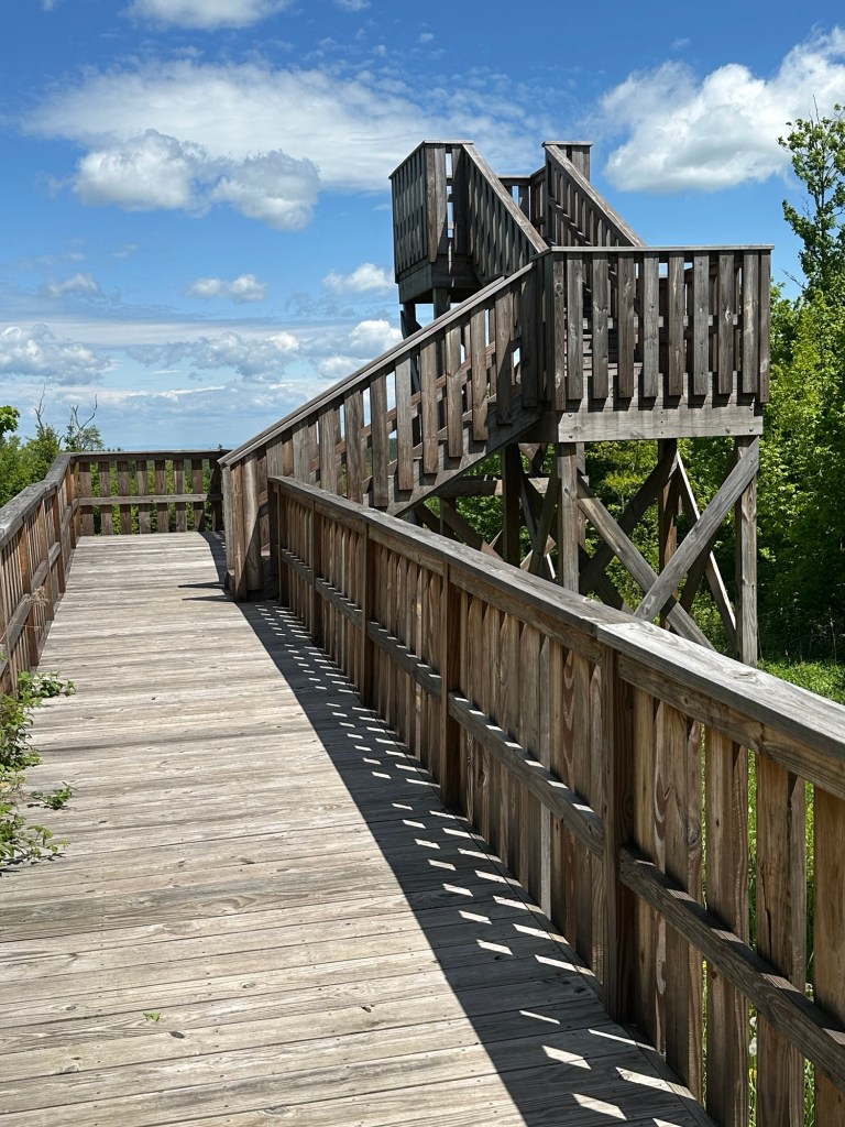
For my next trick, on June 4th, I decided to try to go for a twofer. Two NY State County Highpoints in the same day.
First up was Bearpen Northwest Peak, the highpoint of Delaware County. During September of 1998, I had hiked to the 3,587-foot summit of Bearpen Mountain – a Catskill 3500 peak located just inside the border of Greene County – as I chased and completed that list of mountains. At 3,523-feet Bearpen Northwest is a minor sub-peak of Bearpen as it does not meet the distance and col depth requirements to count as an independent summit. But it does sit exactly on the county line and marks the highest ground in Delaware County.
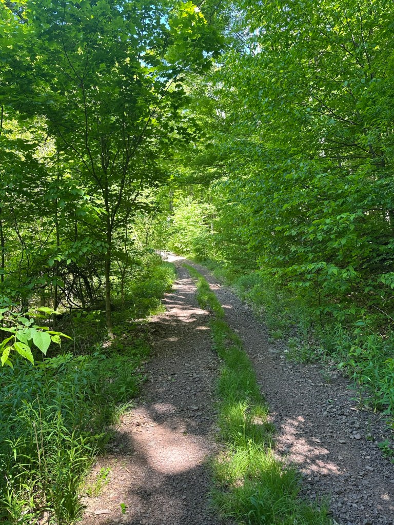
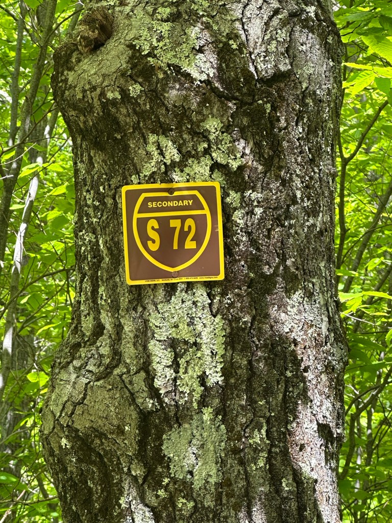
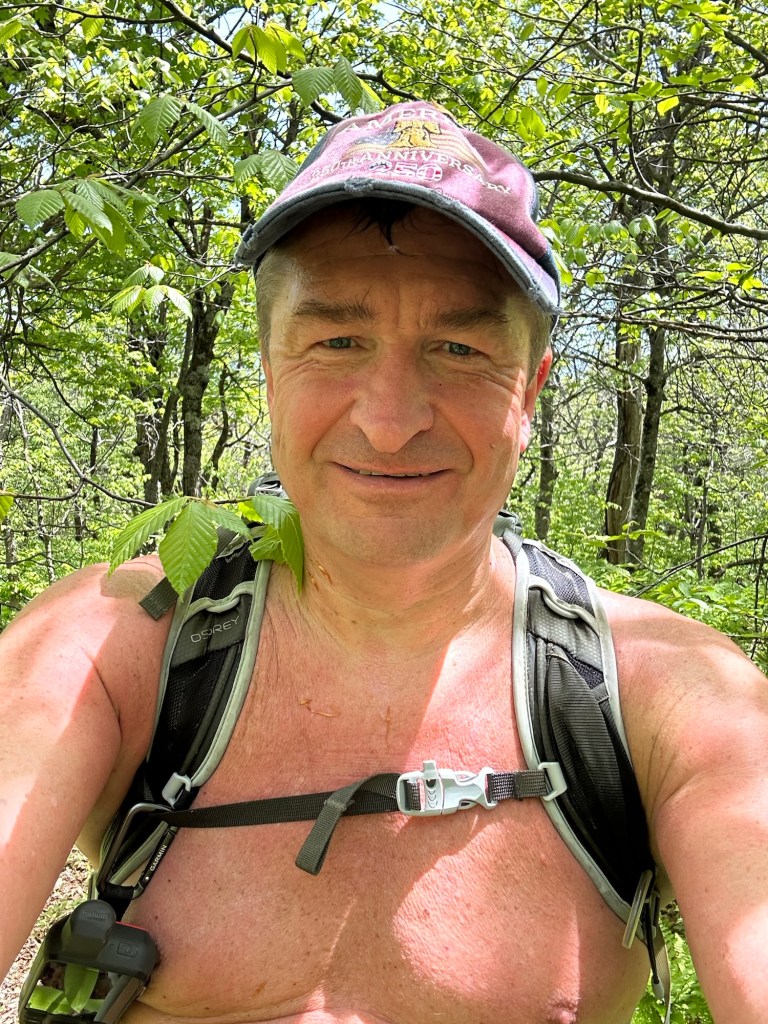
The morning was hot and my shirt came off as the first order of business after I reached the start of the Ski Run snowmobile trail approach to Bearpen at 10:10 AM. This route was the same as I had traveled all those years ago during my 3500 Club days. The trail comes within a whisker of Bearpen Northwest but skirts just west of the summit of the sub-peak. The only way to get there is via a short bushwhack of less than 1/4 mile from the trail.
I had my GPS with me but kept it in my pack, thinking it would be easy to spot where I should break off the trail and start the bushwhack. Except it wasn’t easy … and before I knew it, I had overshot Bearpen Northwest and found myself atop Bearpen’s main summit.
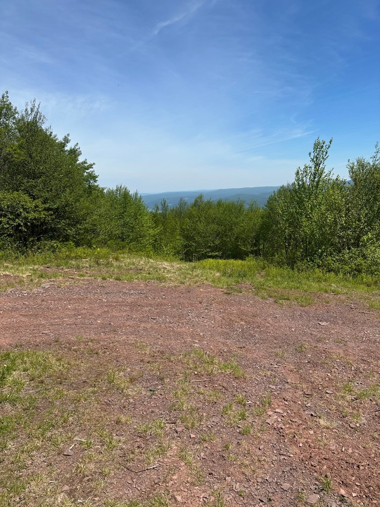
OK. Cool. No worries. So out came the GPS. A few quick ba-beeps and I had Bearpen Northwest all programmed in. Easy peasy. As I approached the bushwhack portion, I observed the trailside trees completely blocked all visibility of the gentle slope leading to the top of Delaware County, thus making me feel better about having missed it on my first pass. Less than 10 minutes later, another COHP was in the bag. Summit selfie taken at 12:30 PM.
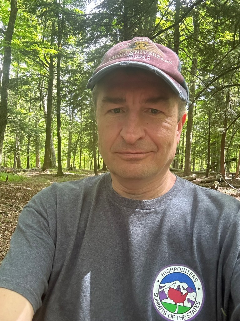
A minor detour on the way back home brought me in the vicinity of the Schenectady County Highpoint, which has no official name but is sometimes informally referred to as Hayfield Hill. In any event, similar to Albany County, it’s another private property COHP that requires a knock on the door. I had read nothing but nice things about the older woman who owns the property and this intel proved to be spot on. She graciously pointed me in the right direction and informed me that she’s had folks from as far away as the Phillipenes visit her property. She also cautioned that I should check myself for deer ticks after the hike. So kind.
After our brief chat, I expressed my gratitude and made a beeline for the wooded area at the edge of a field, where the highpoint sits. I then explored around a little more, checking out all the little bumps among the trees as well as another field beyond the patch of woods. After 30-40 minutes of exploration, I called it good and returned to my car, very satisfied with my results for the day.
By this point, I had started planning my next county highpointing hike almost as soon as I’d finished the last. So it came as no surprise when – just 8 days later – I found myself heading to the northern edge of Fulton County for an attempt of Pigeon Mountain. I arrived at a trailhead at the end of Pinnacle Road in the town of Bleecker just before 9 AM on June 12th. Similar to Saratoga County highpoint Tenant Mountain, Pigeon Mountain sits right along the southern swampy southern border area of the Adirondack Mountains. The two mountains are also close in height with Pigeon coming in about 35 feet taller than Tenant to lay claim as the 11th highest NY COHP at 2,805 feet.
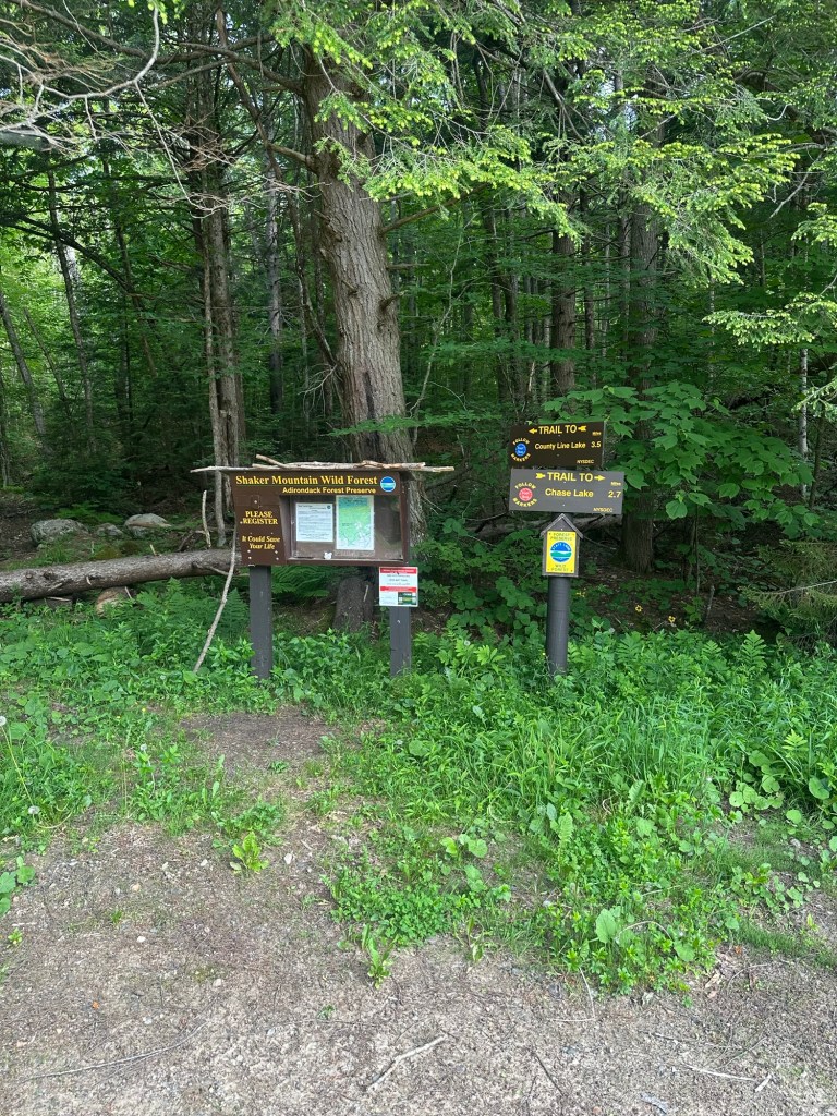
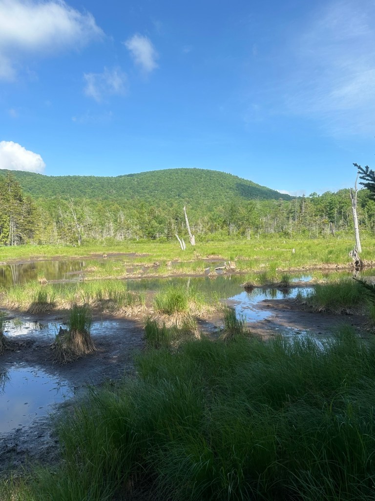
Unlike Tenant, however, the route to the top of Pigeon is much more straightforward. Rather than a maze of ATV trails and unmarked paths, I simply followed the blue-blazed County Line Lake Trail for two miles to a height-of-land, where I then programmed my GPS and began a steep bushwhack through mostly open woods. The route uphill essentially led me due west and the GPS came in handy on the vague summit area. I took a series of photos just before 11 AM. My iPhone registered a total of 5.6 miles for the round trip to go along with about 1,350 feet in elevation gain.
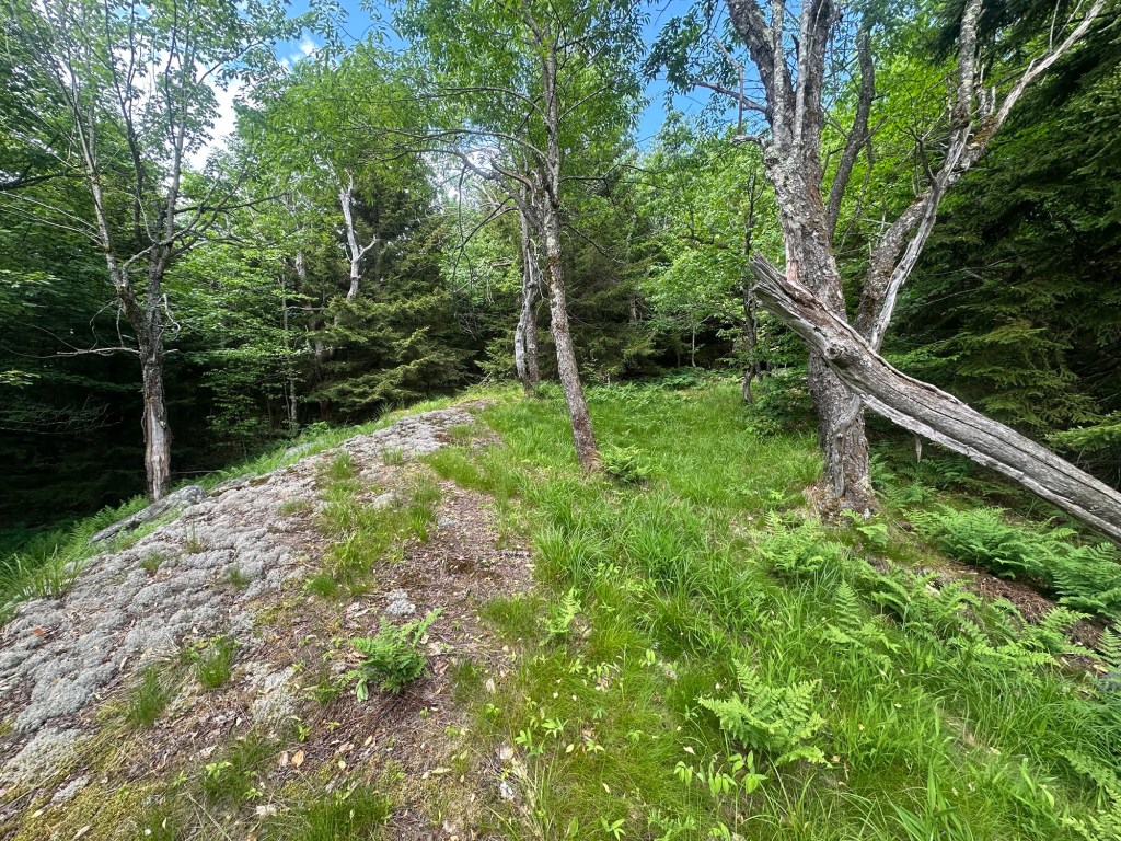
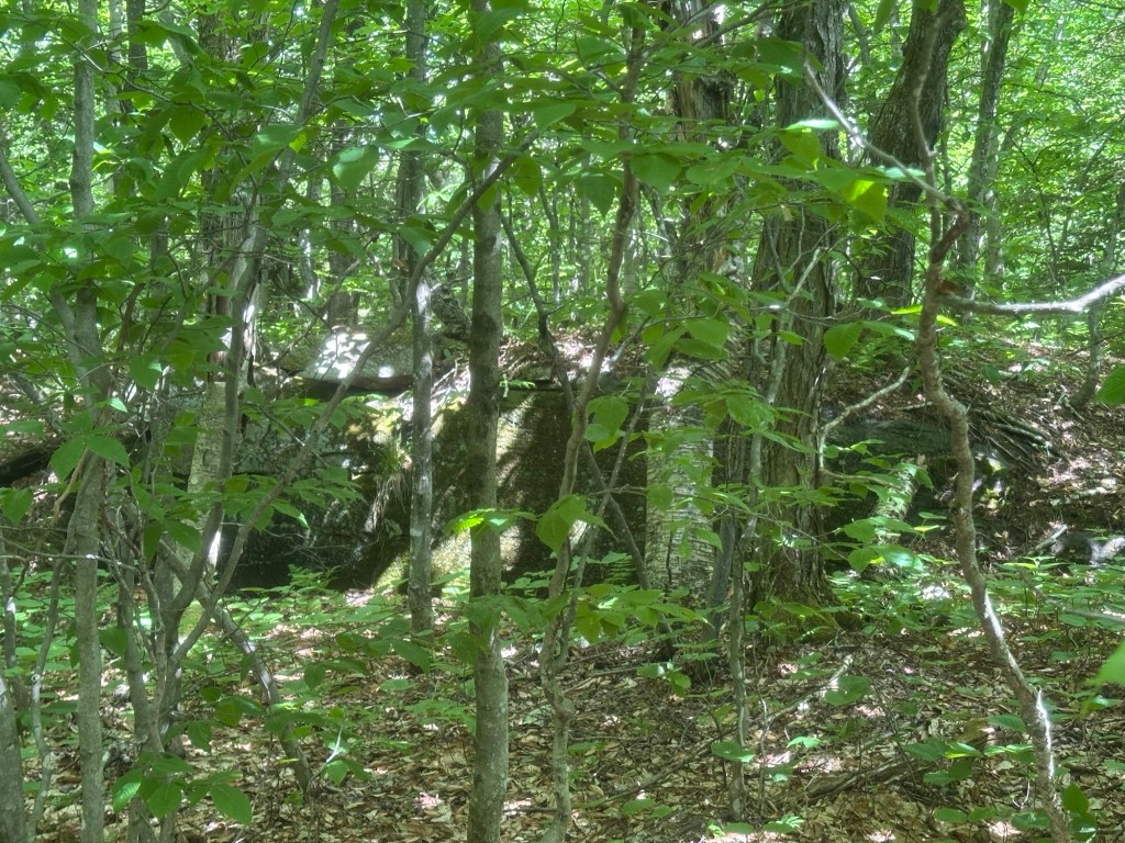
Considering another twofer, I then headed over to Willse Hill, Montgomery County to investigate the area but found the COHP sits on the edge of a cornfield that was being actively worked at the time of my arrival. I briefly considered a mad dash for glory but then realized how silly that would have been. I have my standards, you know. Willse Hill will be there for another day.
This essentially marked the end of my first wave of NY county highpointing for the summer but I ironically found myself atop Dutchess County highpoint Brace Mountain during a Father’s Day family hike that took in State of Connecticut highpoint Mount Frissell as the primary target that day.
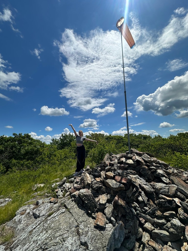
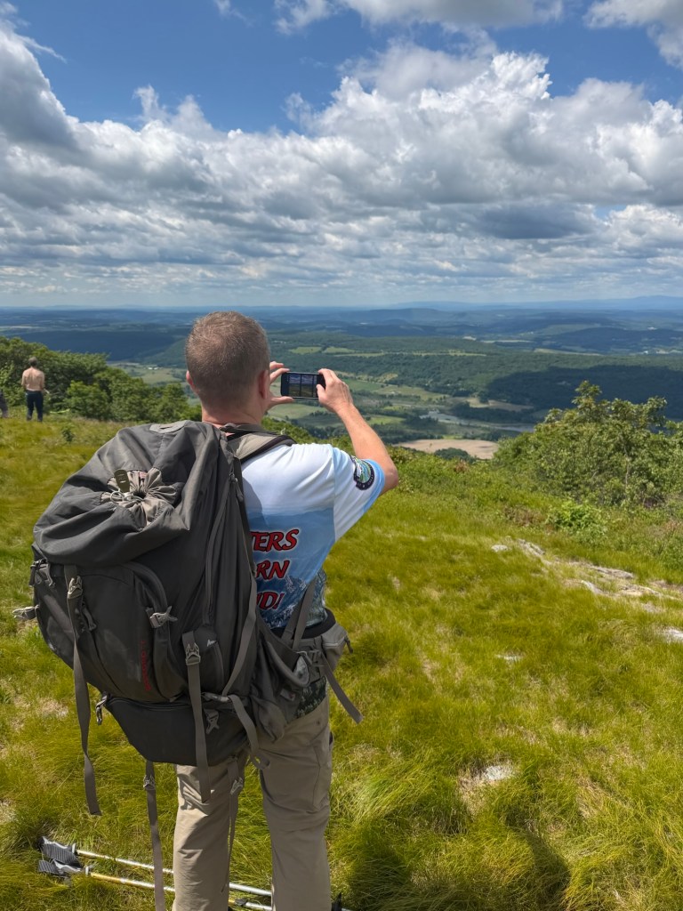
Following my inadvertent repeat climb of Brace, which I had first ascended in 2001, I officially got back into the NYS county highpointing game on July 3rd. By this point, I had eliminated all of the COHPs close to home and knew I’d be looking at longer drives from here on out. True to my goal of prioritizing actual mountains requiring a degree of bushwhacking, I set my sights of Sullivan County highpoint Beech Mountain for my next adventure. With a summit elevation of 3,118 feet, Beech checks in as the 10th highest county highpoint in the Empire State.
After a near dawn start followed by drive of two hours and change, I arrived at a small parking area at the end of the drivable portion of Beech Mountain Road in the town of Rockland right around 7:30 AM. The day was forecast to be hot (high 90s) so I was happy to start my way down the blue-blazed Flynn Trail before the sun got too high and the heat of the day had a chance to build.
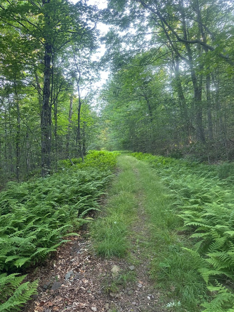
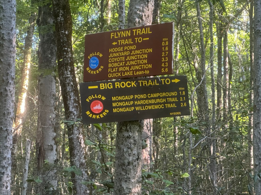
The trail remained wide and obvious as I picked off various landmarks along the way. I had been hiking for about two miles when the trail began to level off at the 2,700-foot contour with a side trail leading in the direction of Hodge Pond cutting off to my left (west). The mass of the summit area of Beech Mountain clearly angled ahead and to my right (northeast). I decided this was as good of a place as any to begin the bushwhack and programmed my GPS, soon leaving the trail and crashing off into the woods.
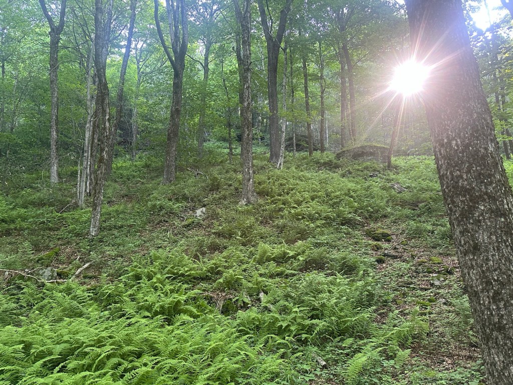
Thirty minutes and about 400 vertical feet later, I snapped a sweaty summit selfie at 9:03 AM. Beech is another one of those mountains with an indistinct, mostly flat summit area so I spent some time exploring around and making sure to traverse all of the possibiltles. By this point, I had come to realize that the GPS summit locations sometimes have a little bit of drift from the actual mountain summits. So although my Garmin 67i is a highly valuable tool, a little bit of ground game is also still required once you reach the mountain top.
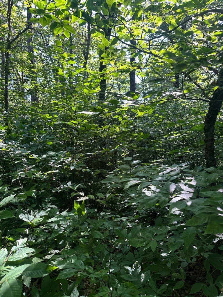
My successful summit of Beech Mountain marked my eighth new NY county highpoint of the year to go along with my repeat ascent of Brace Mountain. Also, this latest ascent meant I had now reached the 8th, 9th, 10th, 11th and 13th highest NY COHPs in the last several weeks. Not too shabby.
Maybe time now for something a little easier.
I would have to wait just five days before another opportunity presented itself. My wife and daughter had traveled to a Nationals Dance Competition on the Jersey Shore while I completed my non-traditional work week back home. I finished up my regular rotation of 12 hour midnight shifts at 6 AM on the morning of Wednesday, July 8th and after a quick stop home to shower and feed the cats, I made a beeline south before exhaustion had a chance to overtake me.
The plan was simple. Once I reached the New York City area, I would break off and visit the highpoints of Richmond County (AKA Staten Island) as well as Kings County (AKA Brooklyn). It made sense to me as both boroughs/counties are located on the western edge of New York City and would involve only minor detours in my journey to the Jersey Shore.
The drive took a bit longer than expected as I stopped multiple times for coffee and to stretch my legs, but I arrived in the Todt Hill area of Staten Island at about 10:15 AM.
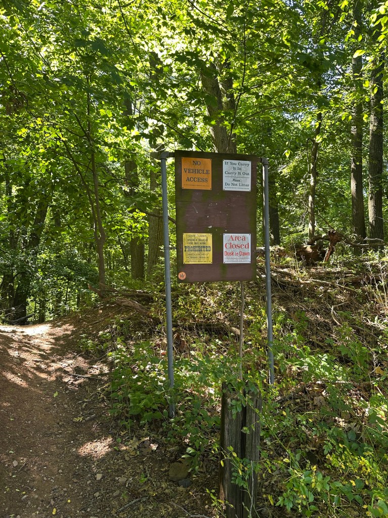
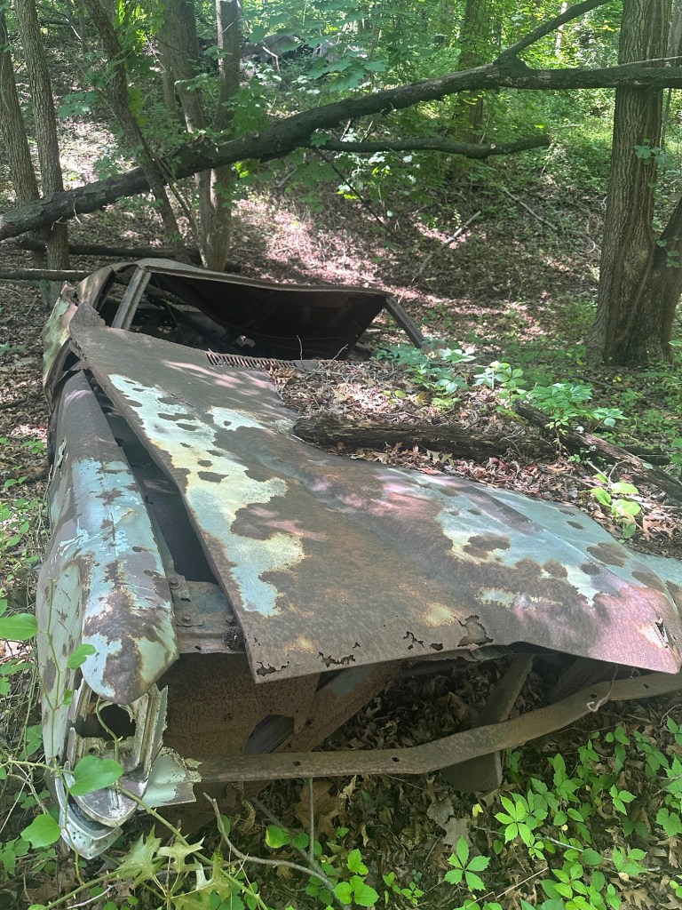
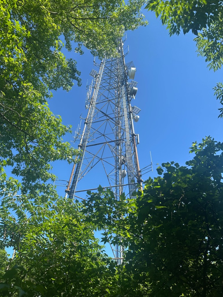
I don’t have a lot to say about Todt Hill other than it was very pleasant and didn’t really have the same feel of urban highpointing that I’d experienced several weeks earlier while visiting the Fort Washington area of Manhattan. The brief 35-minute adventure featured a short hike in the woods, some burnt out cars and a fenced-in radio tower. Fortunately, the highest ground on Todt Hill lies outside the fenced-in area so I was faced with no temptation for a black ops mission atop Richmond County.

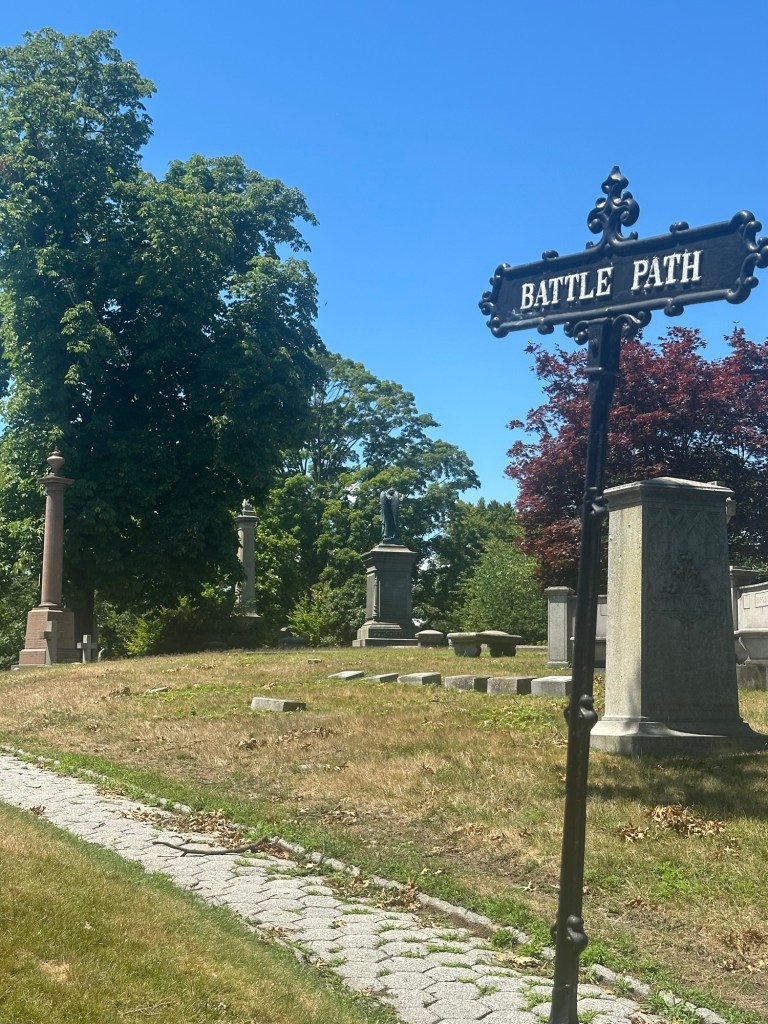
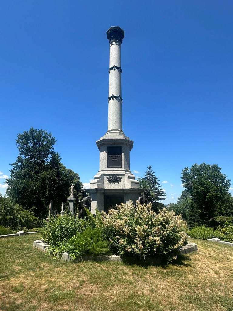
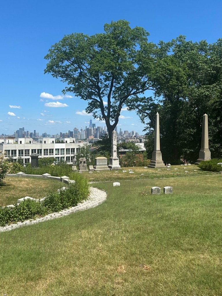
From here, it was just a short hop, skip and jump over to the Green Wood Cemetery in Brooklyn, where Battle Hill – the lowest of New York’s 62 county highpoints at just 218 feet – rises like a baby Phoenix over the rest of Kings County. I intentionally parked just inside the cemetery entrance so that I would have to essentially walk the entire cemetery to reach the COHP.
Say what you will, but I’ve always enjoyed cemeteries and Green Wood ranks as possibly the coolest one I’ve ever visited. It had everything from huge monuments for the dearly departed wealthier among us to one vast area of countless understated Civil War casualty headstones for many men who never lived to see 30 years of age. I walked the main road, cut across grassy areas and eventually worked my way over to the far northern corner, reaching the summit area at about noon.
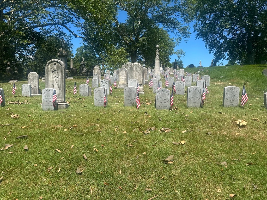
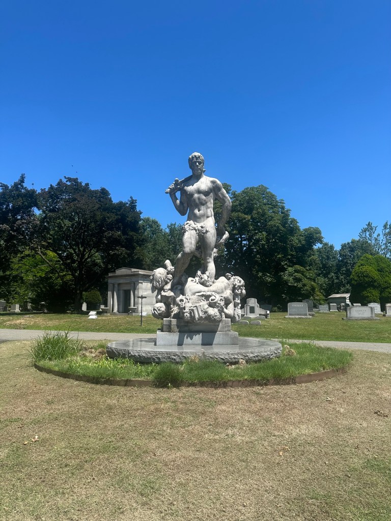
I stayed atop Battle Hill snapping photos and checking out headstones in the area for maybe 15 minutes before scoping out a different way back to my car. By the time all was said and done, I’d logged more than four miles of walking on my little NYC highpointing adventure, bumping me up to 10 new NY county highpoints for the year.
After my difficulties on Tenant Mountain to start the season, a few folks on the County Highpointers Facebook page began alerting me that there existed two other NY COHPs on a similar scale of complexity. Specifically, Mount Matumbla in St. Lawrence County and the unnamed Herkimer County highpoint.
At 2,692 feet, Mount Matumbla is not only trail-less but also located within the boundaries of the private and gated Mount Matumbla Club. For liability reasons, the club does not allow access to non-club members to hike for any reason. Instead, when asked, they generally point to nearby Mount Arab as an alternative. I had hiked the 2,533-foot-tall Arab many years back while completing the Adirondack Fire Tower challenge and felt no sense that I’d also visited the highest point in St. Lawrence County … because I hadn’t.
So as the saying goes … “It’s better to ask forgiveness than permission.” Acceptable risk. Worst case scenario, I pick up a ticket for simple trespassing, a non-custodial, non-criminal offense in New York State, meaning no associated fingerprints or photographs. “Guilty as charged, your honor.” Probably a $250 fine and on my way. I mean, this isn’t a bump in a cornfield we’re talking about here, but a legitimate, actual mountain. And I wanted to climb it. So climb it I did.
I did my homework on Mount Matumbla, the 15th highest county highpoint in New York State and familiarized myself with the route taken by most like-minded individuals who have ascended this peak.
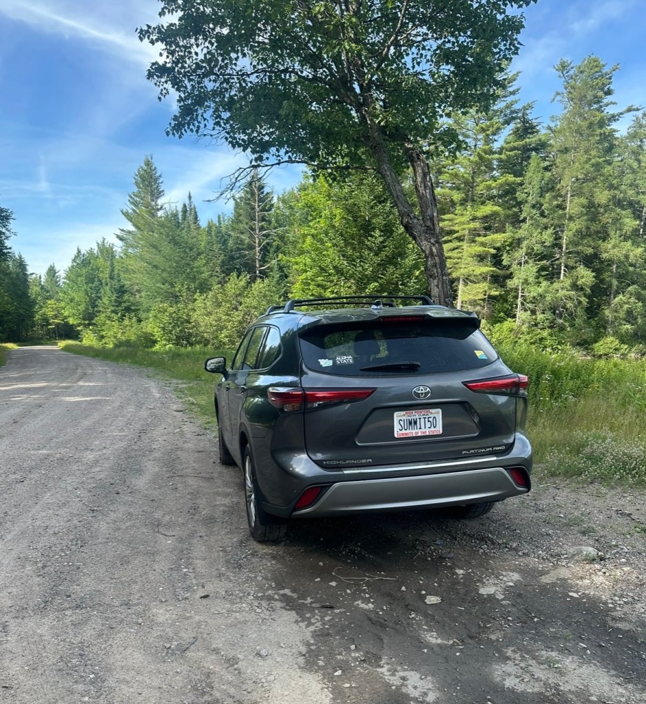
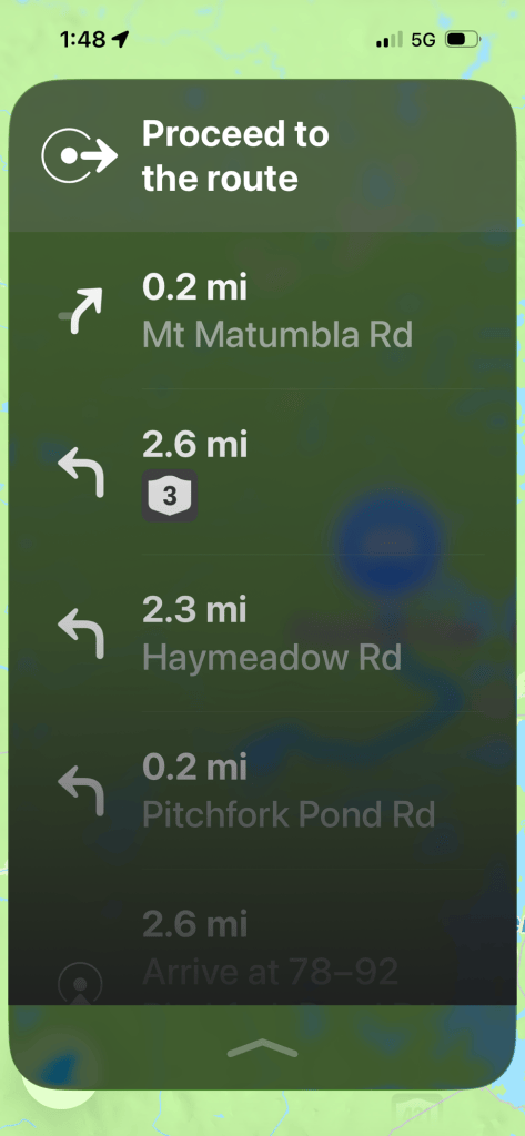
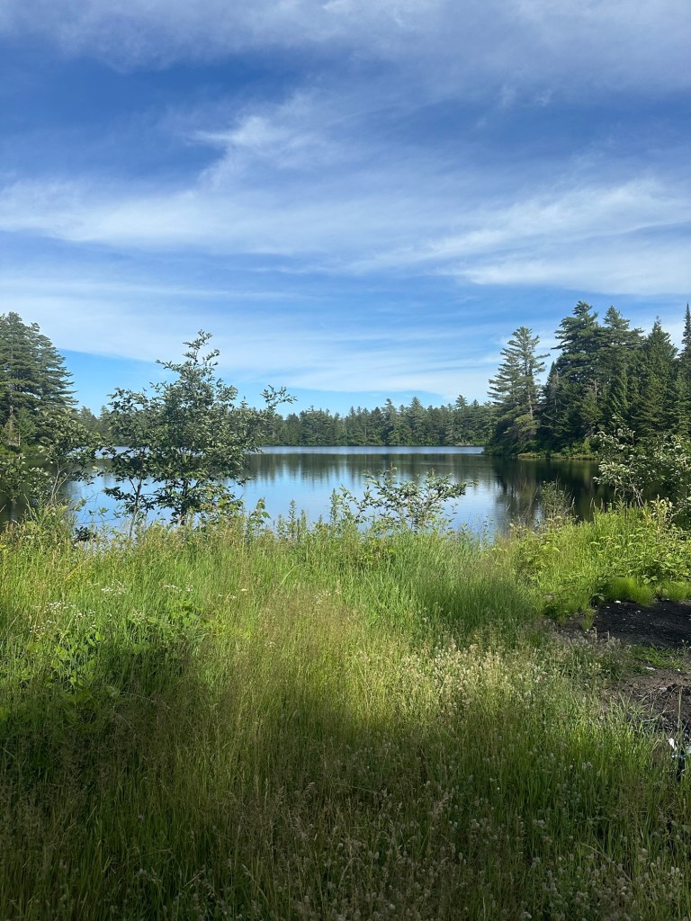
I arrived at a small parking area on the west side of Pitchfork Pond about three miles outside the Village of Tupper Lake at 8:30 AM on July 17th. Pitchfork Pond Road is an entirely public road, meaning I’d committed no violations to reach my starting point. Across the street from the parking area is the private Camp Buckhorn and a wide right-of-way/snowmobile trail used by locals during the winter months. Again, completely legal. The summit of Mount Matumbla lies about three miles to the west of this point.
And down the snowmobile trail I started. I was about five minutes into my hike when I realized I’d left my baseball cap in the car. I considered doubling back for it, but decided the bugs weren’t going to harass my head and hair too bad on this day. This was my first mistake and the horse fly hell that ensued would become one of the main themes of my hike as I continuously swatted at the pesky bugs for the entirety of my little adventure.
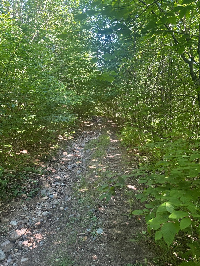
I soon crossed a four way intersection with a maintained gravel road and continued straight along the snowmobile trail as I passed a small camp on my right. Although I was reasonably sure I was on Club property at this point, I had passed no signs of any type indicating I was on private land.
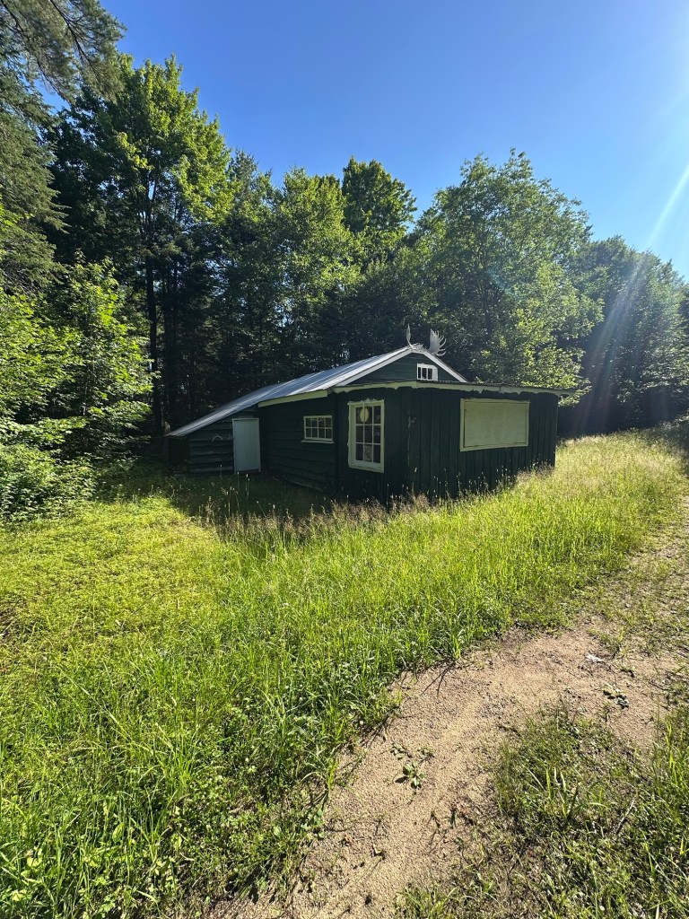
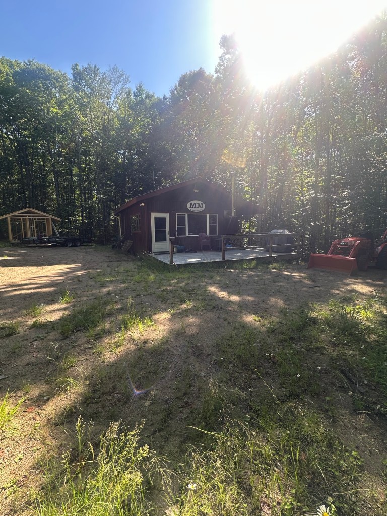
After about an hour of hiking, I reached the end of the snowmobile trail at the intersection with another gravel road as the mass of Mount Matumbla became obvious, rising straight in front of me. I took a right on the gravel road and followed it for about 100 yards, snapping a quick photo of the unoccupied Mount Matumbla Club cabin at 9:44 AM. I then doubled back slightly, took a few minutes to program my Garmin GPS and went crashing off into the open woods.
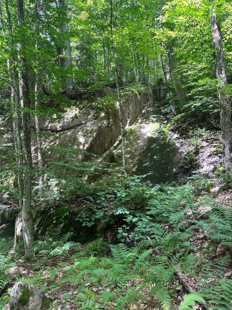
The route soon steepened as the uphill grade became substantial. Some cliffy areas needed to be circumvented and footing became a bot tricky in a couple of spots. The grade began ease above 2,360 feet and I was thankful to have my GPS as it kept pulling me left (west). Were it not for this, I would probably have continued straight upslope on a more northerly track towards a sub-peak rather than taking an angled approach. Ultimately, this would save me a lot of time high on the mountain.
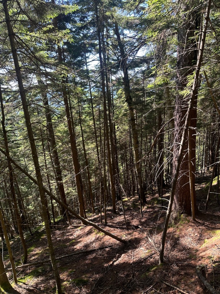
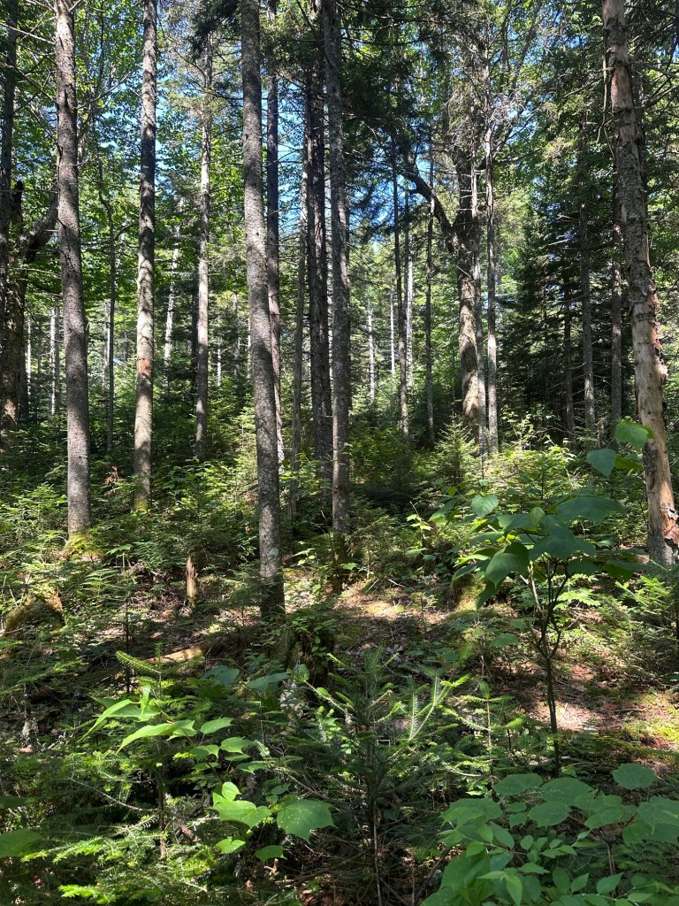
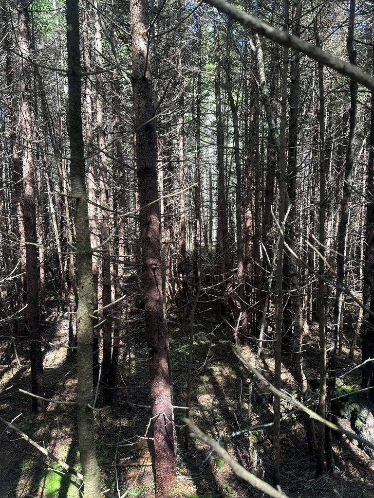
As the grade mellowed, the route thickened to a nearly impossible wall of tightly-packed spruce trees. I stayed true to the GPS but spent no small amount of time finding a route through the pine as sticks and needles found their way onto every part of me. Progress slowed to a crawl and it ultimately took 75 minutes for me to cover the one mile-long uphill bushwhack portion of the hike. I have read multiple accounts of an uncertain summit area but I stumbled upon a rocky rise within the upper 2,680-foot contour that offered a viewpoint where everything in every direction was lower. I called it good and started my way back down.
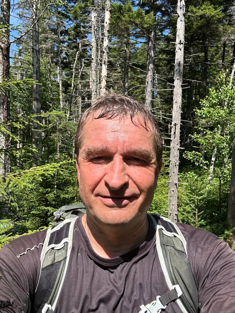
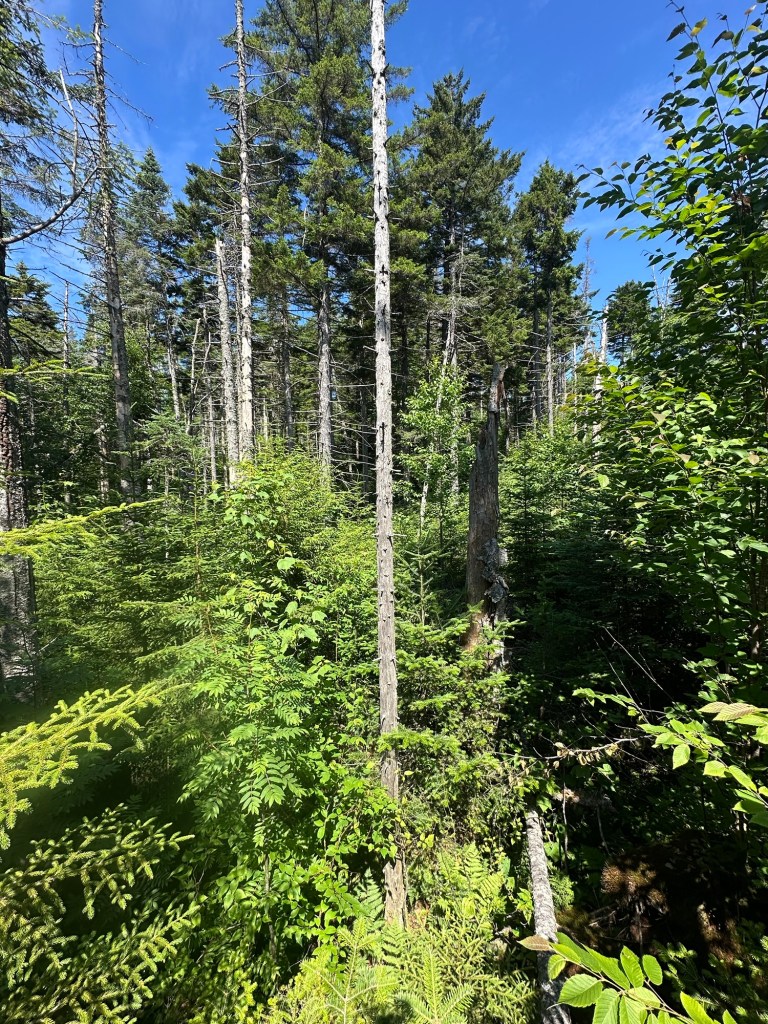
Similar to my experience on Tenant, this is where things took a turn for the epic. To start, while navigating one of the cliffy areas during the route back to the gravel road, I decided to “go for it” in a sketchy area rather than finding a safer path around. One single misstep led to my foot getting jammed in an exposed root and I promptly flipped completely upside down. It was my second very uncomfortable feeling of uncertain air of the calendar year as I braced for my head to get whacked. Fortunately, as in Guam back in April, the impact never happened.
Although I had powered down my GPS by this point, I brushed myself off and successfully exited the woods in precisely the same spot as I’d entered, reaching the gravel road near Camp Matumbla at about 12:20 PM, slightly battered but in otherwise good shape.
Time to wrap things up with a simple walk along the same snowmobile trail back to my car, right? Wrong.
On my way in, I had not noticed a second snowmobile trail between the trail I’d taken and Camp Matumbla. My eyes were focused to the left, studying the uphill terrain that would lead me to the top of the high point of St. Lawrence County. If I had been looking ahead or to the right, I would have noticed the second trail. But I wasn’t … and thus had no idea it existed.
So you guessed it. Down the wrong snowmobile trail I went. I had been hiking about 30 minutes when I started to realize something was off. Minor landmarks I had mentally noted on my way in and was expecting to pass by again never came. I then I started to notice the lack of my own footprints on the muddier sections of trail. At this point, I should have taken the minor loss and returned to the intersection with the maintained gravel road.
But that would have been too simple. Instead, I chose to compound the error, deciding the trail I was on roughly paralleled the one I’d taken earlier and I’d just correct my error when I reached the next gravel road. Wrong again. Without getting into all the specifics the wild misadventure that ensued, I did not get back to my car at Pitchfork Pond until 4:35 PM after logging 16.2 total miles of hiking/road walking for what should have been a six mile round trip hike. During all of this, I was challenged twice about what I was doing on Mount Matumbla Club property and how I got in. I was polite and vague, assuring them I had simply gotten turned around during a hike that had started at Pitchfork Pond (true) and that I had figured out where I was and what I needed to do to get back to my car (also true). Derp.
This was as good of a sign as any to wrap up my NY COHP spring/summer project. After returning from some family travel in early August, my 17-year-old daughter asked to hike NY State highpoint Mount Marcy. On August 15th, Marcy (also the highpoint of Essex County) became my final COHP of the summer as Brooke picked up her fifth state highpoint and I notched my fifth lifetime ascent of the mountain also known as Tahawus.
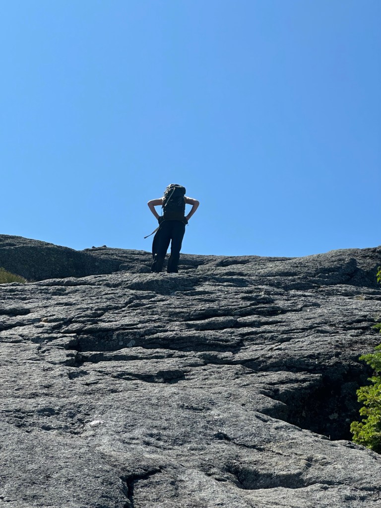
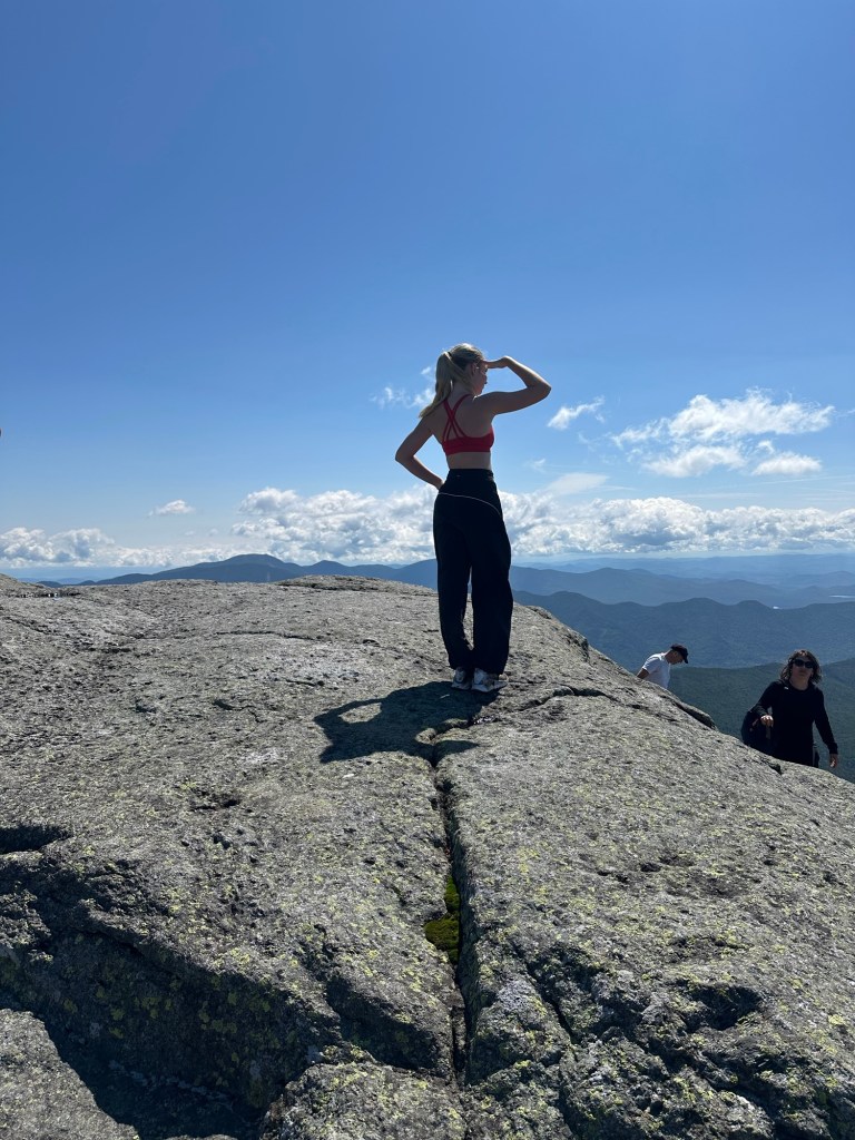
So when all was said and down, I’d visited the highpoints of 11 “new” NY counties over a hair more than two months in mid-2026, leaving me with 26 /62 NY COHPs completed for now.
As for that macro-goal, it’s game on for Lata Mountain, highpoint of American Samoa, in early April 2027. Stay tuned.