It started as a seed of an idea. A nugget of a thought. One of those, maybe I’ll get to it someday kind of things.
Then, in mid-2023, I started taking private Ashtanga yoga lessons and each week, as I came and went, I’d walk by my instructor’s business sign from her days in Saint Thomas. She’d lived there for about 20 years during the prime of her life and loved to talk about her time in the U.S. Virgin Islands. Amazing Grace, they called her.

The thought became more persistent and serious. The seed started to sprout into a plan and before long, I was looking at maps and researching trip reports.
At 1,556 feet in elevation, Crown Mountain is the highest point in both Saint Thomas and the entire U.S. Virgin Islands. A territorial highpoint. I’d visited Saint Thomas twice before as a cruise port on family vacations but never took advantage of the chance to make an attempt of the peak. And now, here I was years down the road thinking of planning an entire mini-vacation pivoting off of this small but relevant summit. Really?
No, there needed to be more. I watched a Rooftops of America episode about Crown Mountain during which the host of the show floated the idea of visiting the highest point on each of the three primary U.S. Virgin Islands as a fun challenge. And so it was decided. In addition to Crown Mountain, I would attempt Saint John highpoint Bordeaux Mountain (1,286 feet) and Saint Croix highpoint Mount Eagle (1,160 feet). Now we’re talking.
In late 2024, I set the dates of my short getaway for early April, purchased airplane tickets and booked my first-ever Vrbo. No looking back now.
I planned as well as I could for the three day island adventure but also knew there was going to be a certain element of “winging it” involved. How would I get from the Saint Croix airport to the Mount Eagle “trailhead?” Would I be able to find the alleged hole in the chain link fence that surrounds the summit area of Crown Mountain. Is Bordeaux Mountain going to involve bushwhacking? All worthwhile adventures include at least a little bit of the unknown.
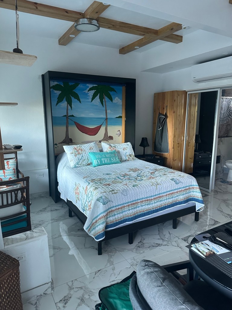
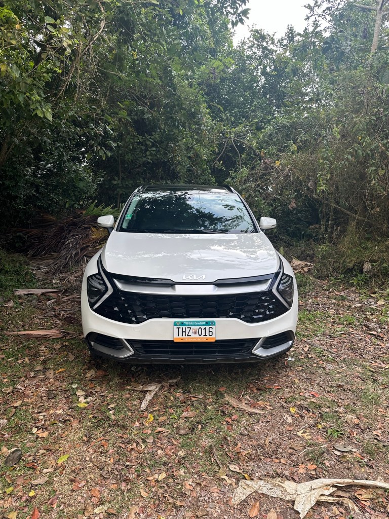
American Airlines flight 2432 from Charlotte touched down at Cyril E. King Airport on Saint Thomas at 2:46 PM on April 9th, 2025, a Wednesday afternoon, and the adventure part of it got started earlier than I’d expected. After picking up my rental car from Enterprise, I had a lot of trouble finding my Vrbo. Neither my phone nor GPS recognized the address in Saint Thomas’s unusual numbering system and the coordinates I had were of no use either. I started text bombing my host for a little help before parking the car and searching for it on foot when I felt I was getting close.
Finally success! But then I couldn’t find the key. Fortunately, the host lives nearby and came over to lend me a hand.
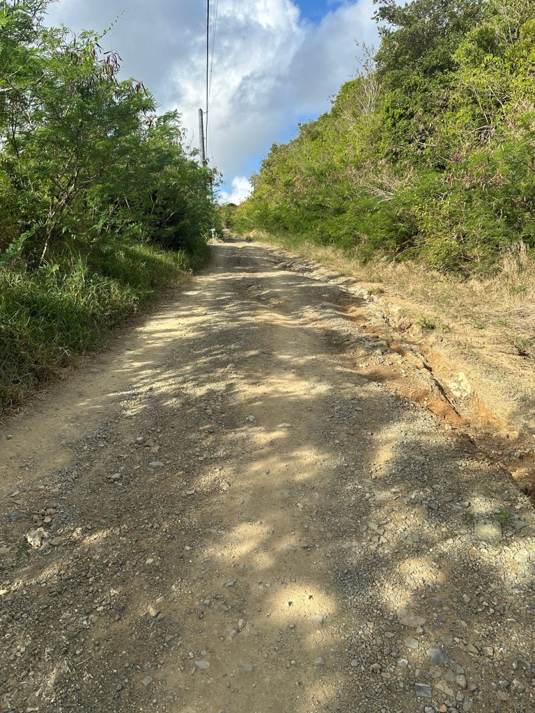
By now, it was nearly 4:30 PM and it was way too hot and much too late to try to road walk to the summit of Crown Mountain before dark. So I decided to drive to the unmarked gravel lane that leads to the fenced-off tower atop Crown Mountain and see if I could find the aforementioned hole in the fence.
Two gates, said the trip reports I’d read on mountain website peakbagger.com. Look for the feint path in the vegetation to the right of the gate on the right. One recent report, however, asserted the hole is no longer there. Hmmm.
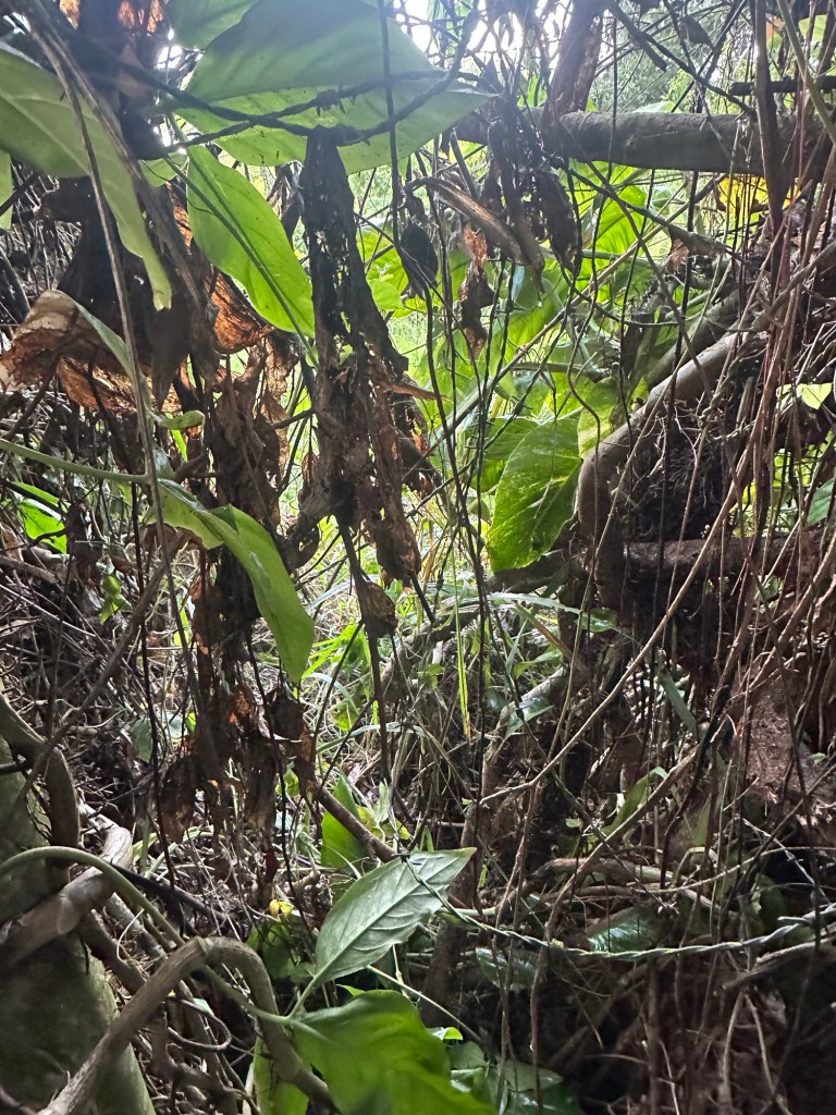
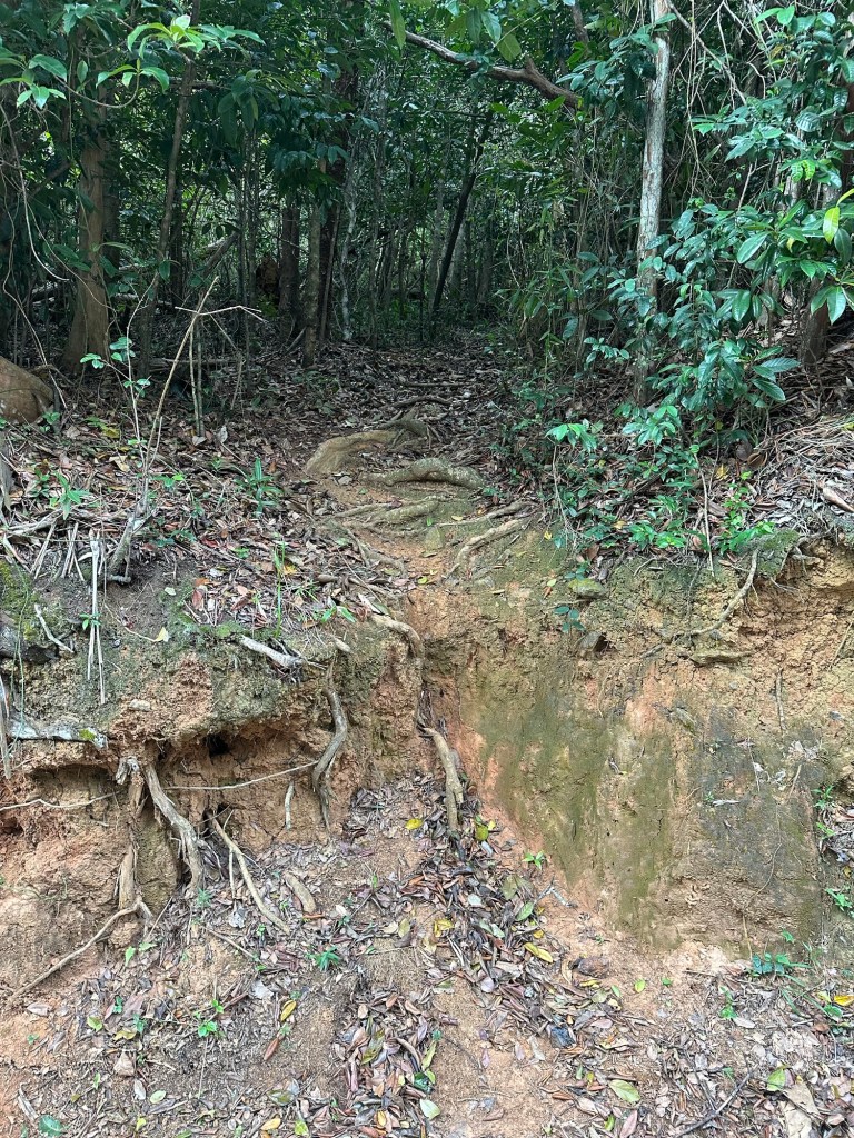
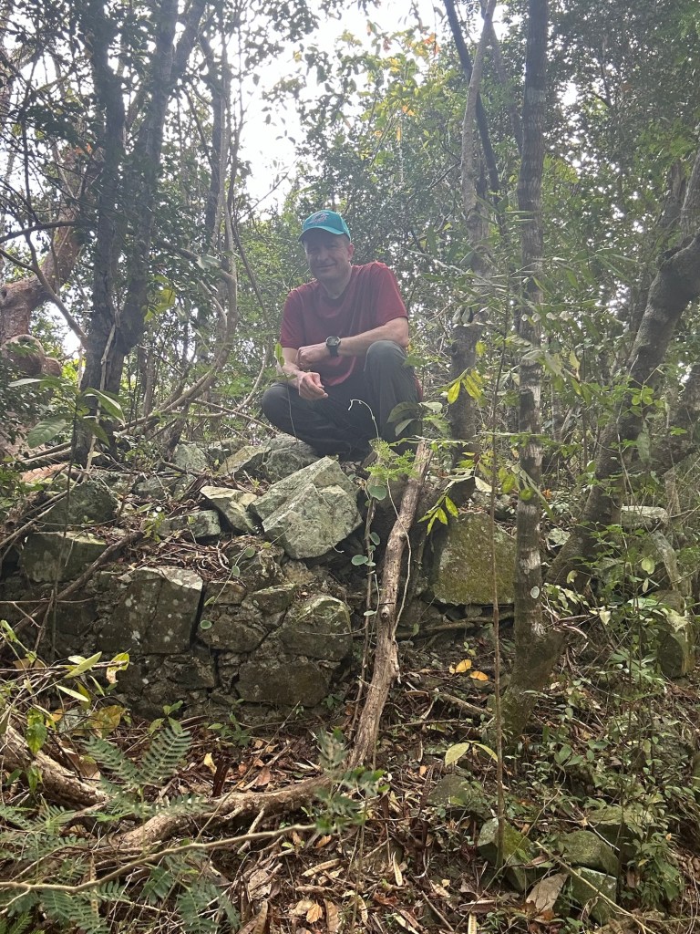
I spied a possibility and returned to my rental car to change out of my new sneakers in favor of a pair of throw-aways I’d brought for my hikes. Here goes nothing! As soon as I stepped into the dense vegetation on the far right, the ground dropped several feet and I found my suspect. I’m not sure I would call it a hole in the fence as much as going underneath it. But the vegetation in this area was so thick that I had to throw all of my weight into it to create an opening large enough for me to fit through. Also, a single strand of barbed wire sneakily blended in. I took four or five small cuts in the ordeal that lasted no more than two minutes. But soon enough, I was through!
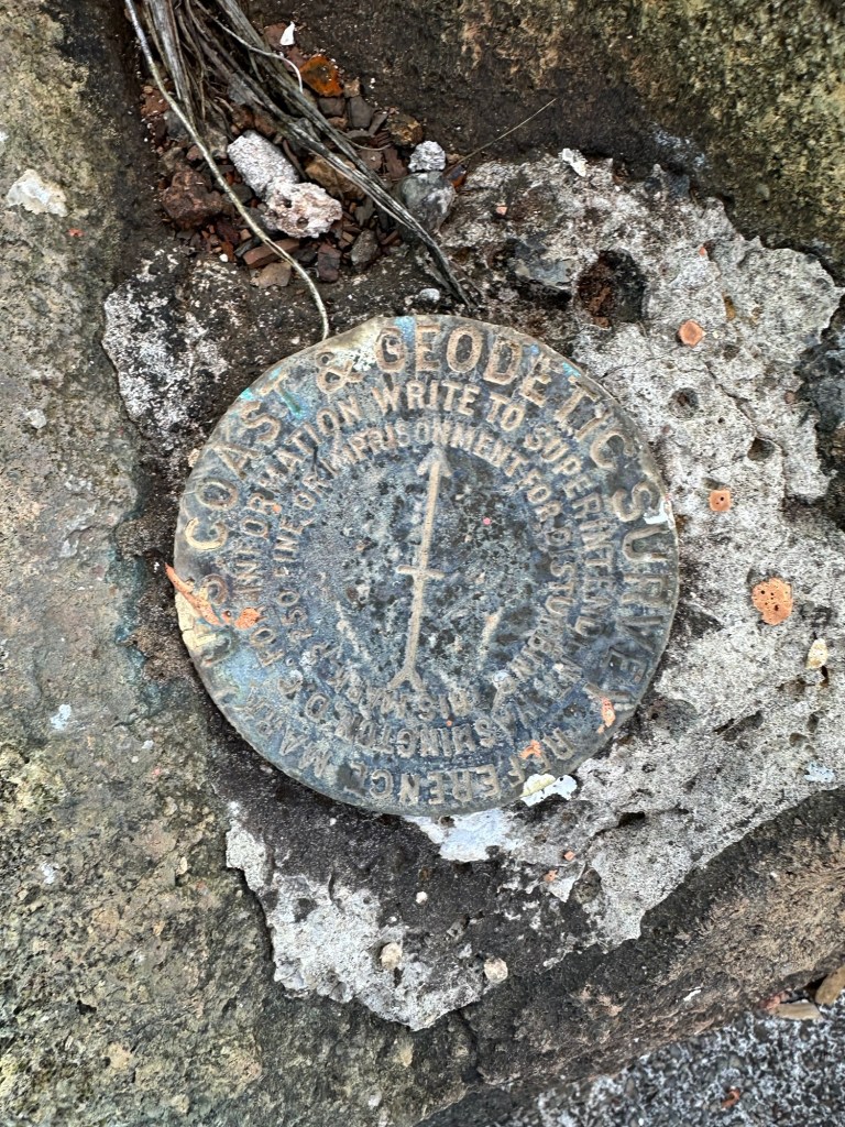
Feeling like a rogue trespassing criminal, I low-crouched my way up a small hill and made my way to the tower atop the USVI, scanning the whole time for anyone who might be around to report my renegade ascent. I had credible information there is a USGS survey marker under the tower and I easily located it, set up my selfie tripod for proof of ascent and got the hell out of there.
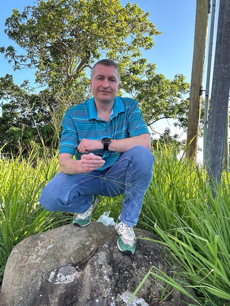
Success! I figured whatever happened for the rest of the trip, I had accomplished my most important objective within my first three hours on the island. I was also hopeful that I might be able to complete my planned road walk up Crown Mountain from the Vrbo before the end of the trip.
Following a very full day that had started with my pre-dawn flight out of Albany, I grabbed a meal at a nearby McDonald’s and retired to my rented private villa for the night. After seven months of Northeast cold weather, the humid 80-plus degree air felt incredible as it washed over me.
Up and out early again the following morning, I pointed my rental car in the direction of Red Hook where I hoped to gain passage on the first car ferry of the day from Saint Thomas to Saint John, a 30-minute ride. I had pre-booked a round trip through the Big Red Barge Company, which advised to be there an hour before your preferred time of departure. As it turned out, I would be the second car in line for the 6:30 AM ferry to Cruz Bay. Sweet.
I was definitely out of the tourist lane of Charlotte Amalie now as I was mixed in with delivery truck drivers and day workers for my ferry ride. I was instructed to back my car onto the ferry and received multiple reprimands for not pulling to within close enough of the far right hand edge of the barge. I was loving this scene.
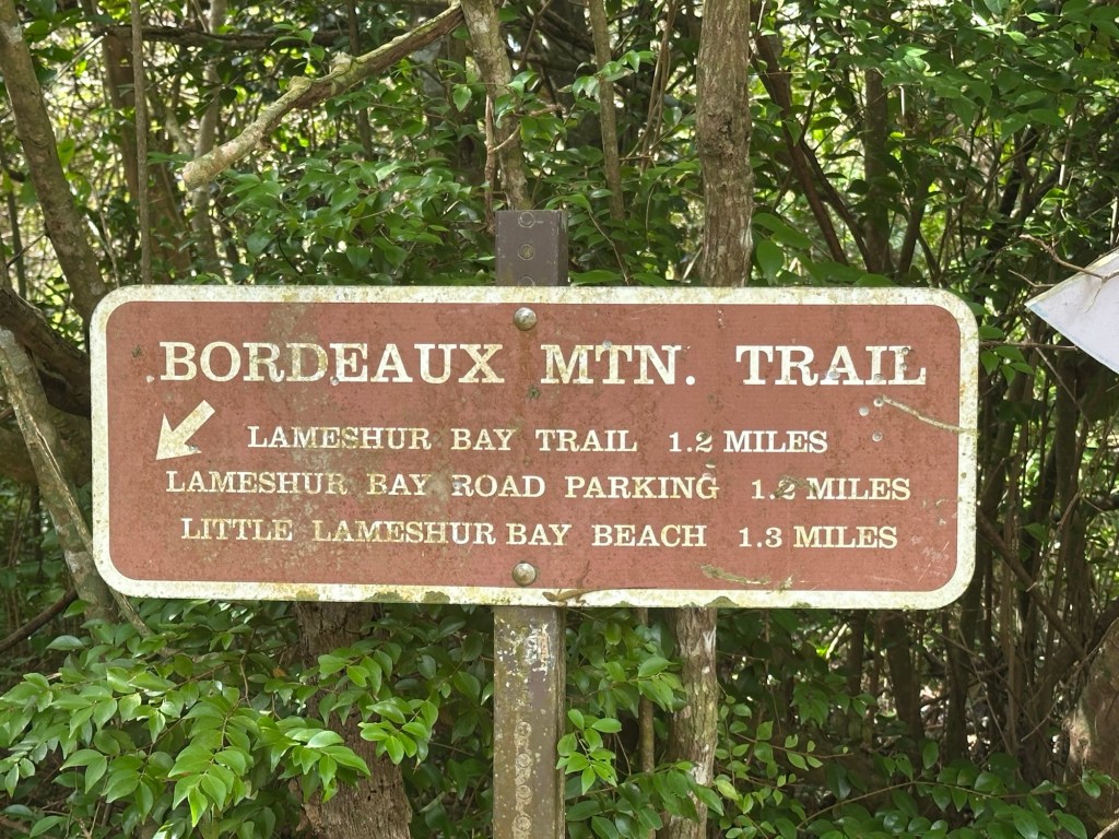
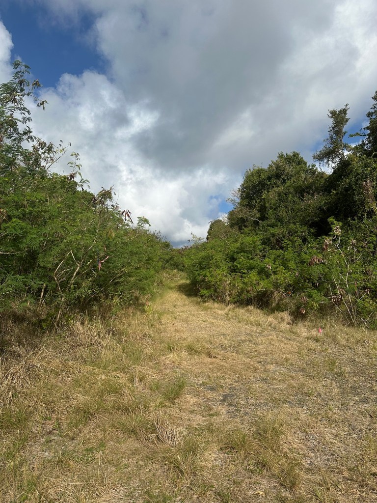
Shortly after 7 AM, I drove off the ferry (forward this time) and headed to the interior of Saint John for Bordeaux Mountain. This would be an unusual hike as I envisioned it. Once again, I would drive to close to the summit and park. But then, I needed to find a needle-in-the-haystack unmarked herd path or be forced to bushwhack the last little bit. If successful, I hoped to tack on a downhill hike to the ocean and back.
I found what I believed to be an adequate parking spot and quickly became a little disoriented as I walked along Bordeaux Mountain Road, at one point wandering up a private driveway before realizing my error. I walked too far – I was sure of it – and doubled back, now intensely studying the woods to my left … looking for an opening. Where is that use path?
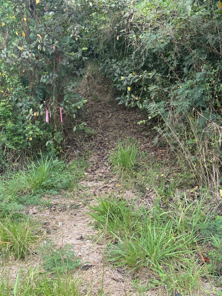
Aha! This must be it. Clearly, yes. But it was hard to follow the entire way, and at times, I questioned whether I was still on it. Soon enough, the path got a little more well-defined and took me to a clear high point. But was this it? Had I reached the top of Bordeaux Mountain?
I consulted my altimeter and studied some Bordeaux summit photos I’d harvested from the internet. Yes, indeed. All of the rocks I was looking at in real time agreed with those in the photos I had. Two down!
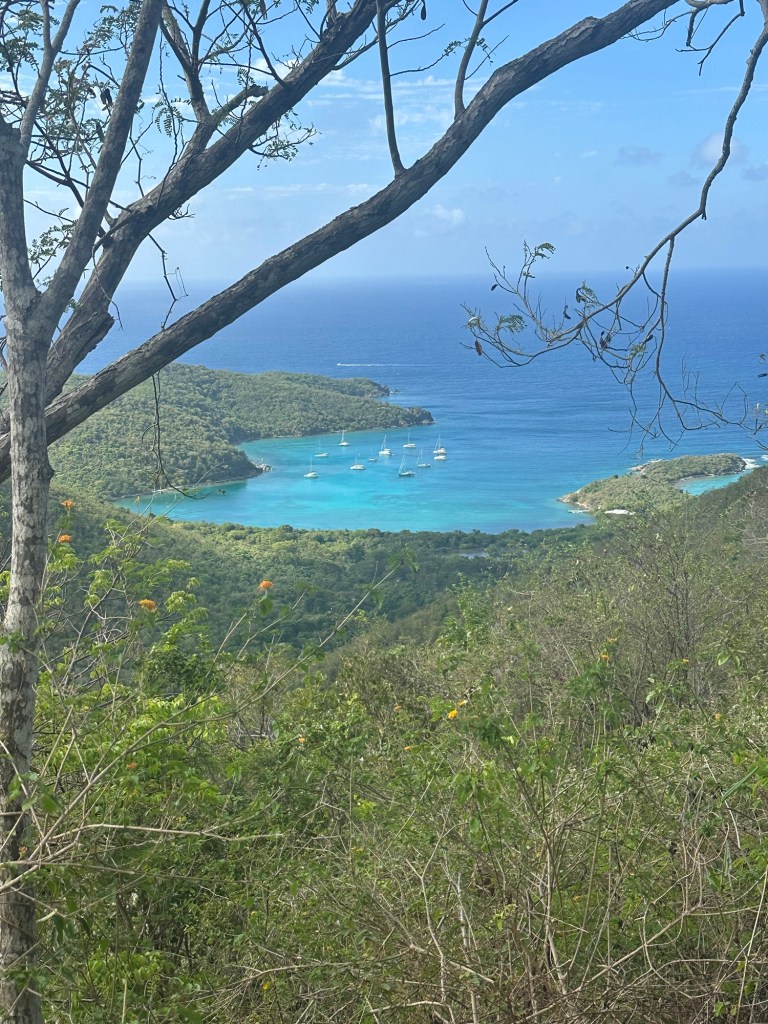
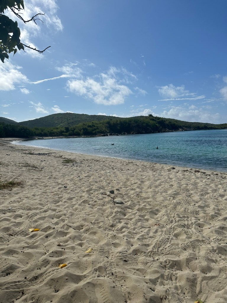
Now complete with my second of three planned USVI highpoints at just a hair after 9 AM on April 10th, I realized I had nearly a solid full day for non-highpointing activity before my AM flight to Saint Croix the following morning. First, I had read that a trail leads to Lameshur Bay Beach on Saint John in 1.3 miles from a point on Bordeaux Mountain Road several hundred yards down the way from my current location. So, I could down-climb to the ocean and then hike back up to the road and my waiting car!
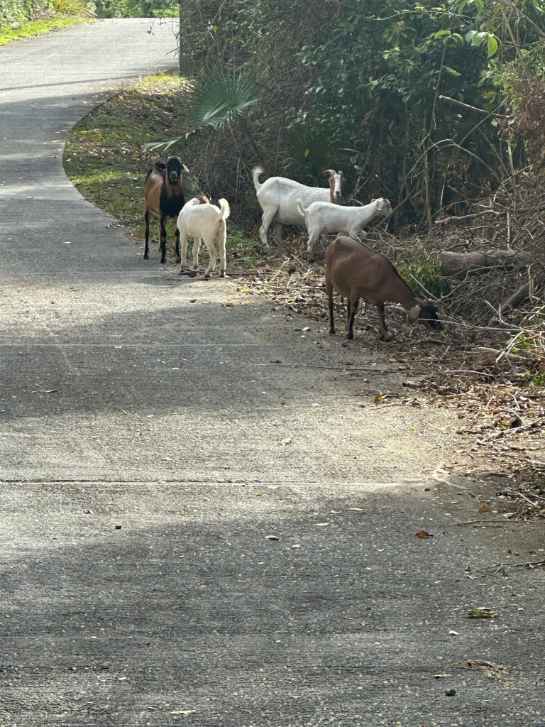
It was a perfect plan and I easily located the wide, signed and marked trail about 10 minutes after reaching the road once again. Just before branching off down the trail towards the ocean, I spotted a group of goats partially blocking the road. Cool.
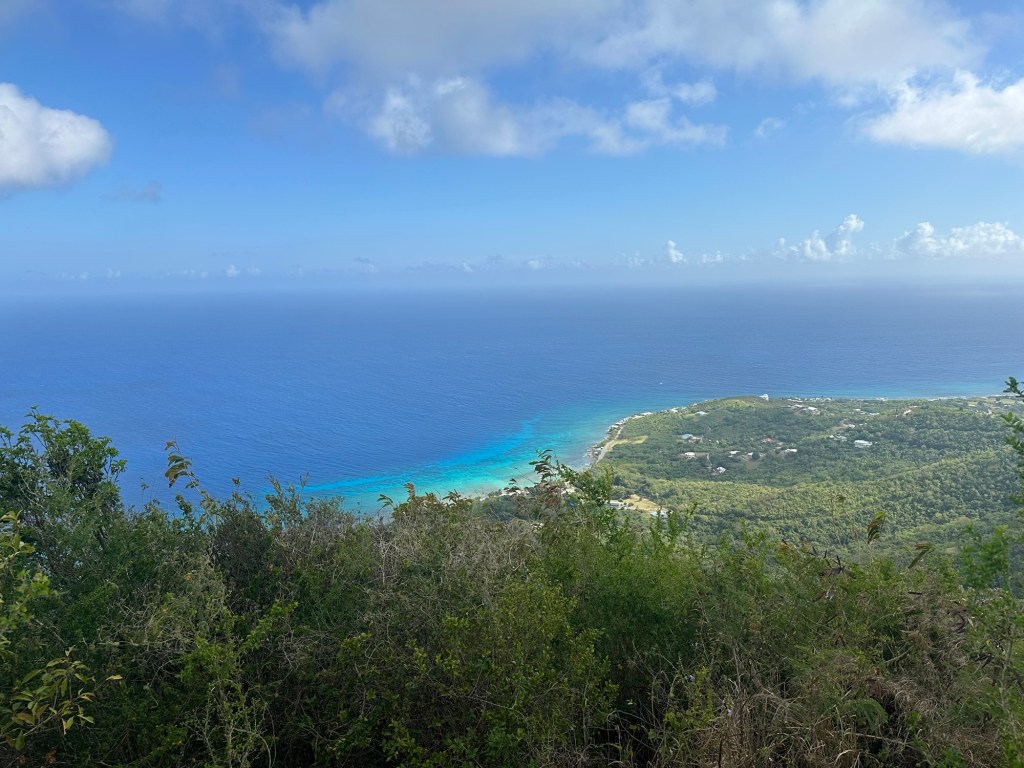
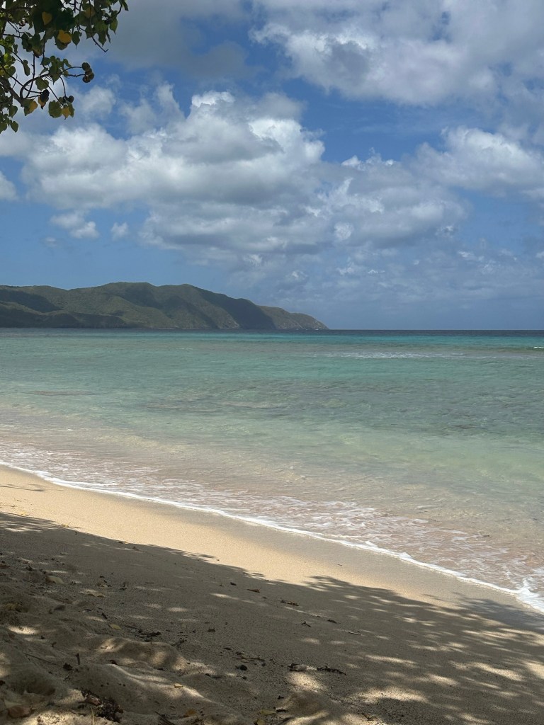
I enjoyed a great hike down to the beach with incredible views to the many sailboats below on a picture-perfect Caribbean morning. I was a long way from New York for sure! I didn’t linger for too long at Little Lameshur Bay Beach … long enough to soak in all in, for sure, but this was no beach vacation. The hike back up to the road proved somewhat challenging with me experiencing full “Eskimo effect” as a result of suddenly being transported from very cold New York to the very warm and humid USVI.
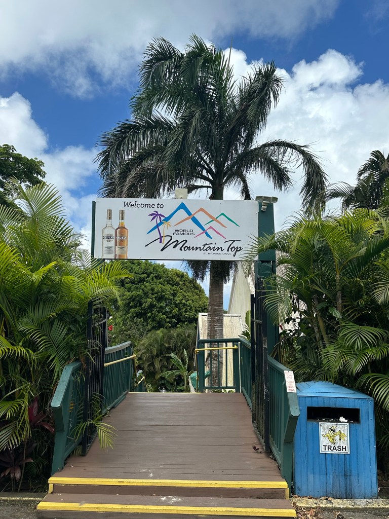
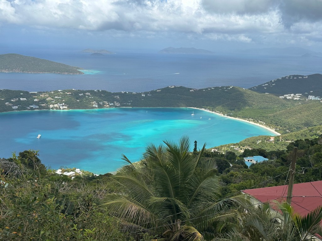
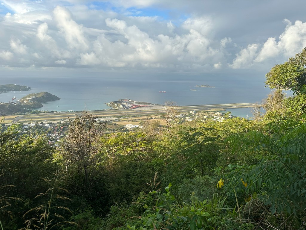
By the time all was said and done, it was not even noon yet and I was able to catch the last pre-lunch ferry ride back to Saint Thomas. For an afternoon outing, I decided to visit Mountain Top on Saint Thomas. At 1,500 feet in elevation, this “peak” (alternately known as Signal Hill and Saint Peter Mountain) is a tourist hot spot that is widely advertised as the highest point on Saint Thomas. Only problem is that it’s simply not true. Nonetheless, I decided that I didn’t want to get in some future debate with some cruise boat veteran telling me that I hadn’t really visited the highpoint of the USVI and showing me internet “proof” of said position.
So I drove up to Mountain Top, which to be clear has views far superior to actual USVI highpoint Crown Mountain. I purchased a baseball cap and local coffee at the store atop the fake highpoint and then found the highest point of earth near another radio tower before calling it good for the day.
Day 3 of my Virgin Island adventure easily proved to be the most unscripted. Only two days before departing for my trip from Albany did I finally decide to purchase the one day round-trip commuter flight ticket to Saint Croix. I looked at options for e-bikes for the ground game once I landed but then decided to see if I could find a taxi instead. I knew I would have 10 hours on the ground and could figure out something.
I arrived at Cyril E. King Airport at 4:30 AM on April 11th only to find that the airport doesn’t even open until 6 AM. So, as I sat in my Saint Thomas rental car on the roof of the parking garage, I had lots of time to think about ground transportation once I arrived in Saint Croix. The more I pondered the situation, the more sense a second rental car seemed to make. I tried to book online, finding no availability … but decided to try my luck at the rental counters when I landed. I mean, who can say no to a face like this?
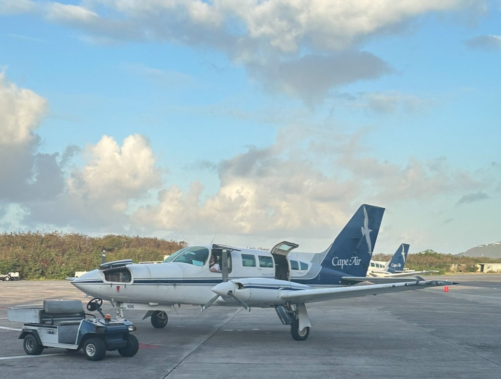
My 7 AM flight on a nine passenger Cape Air Cessna 402C proved to be a very informal and pleasant experience. I was prepared for normal TSA airport screening but instead was sent to Gate 10 outside of the main terminal area. From there, we all simply walked out to the tarmac and boarded our flight. 25 short minutes later, we landed at Henry E. Rohlsen Airport on Saint Croix.
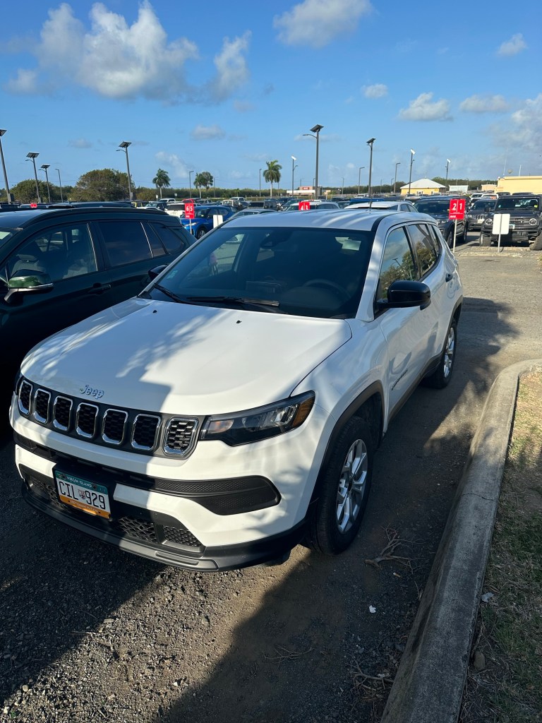
Now about that rental car! From a distance, I could see three rental car establishments. From left to right, I spotted Centerline Car Rental, Hertz and Budget. Centerline quickly informed me they had no cars left for the day; Hertz also proved a no-go after a more thorough check of the inventory. Two strikes. Last shot, here. Bingo! Not only was the woman at the Budget counter super-friendly but she was able to locate a Jeep Compass for just $84 for the day. Awesome.
By 7:40 AM or so, I had my GPS set for Mount Eagle and soon found myself navigating through AM drop-off traffic for Saint Croix High School. Ironic, because had I been back home, I would have been doing the exact same thing with my daughter at our local high school.
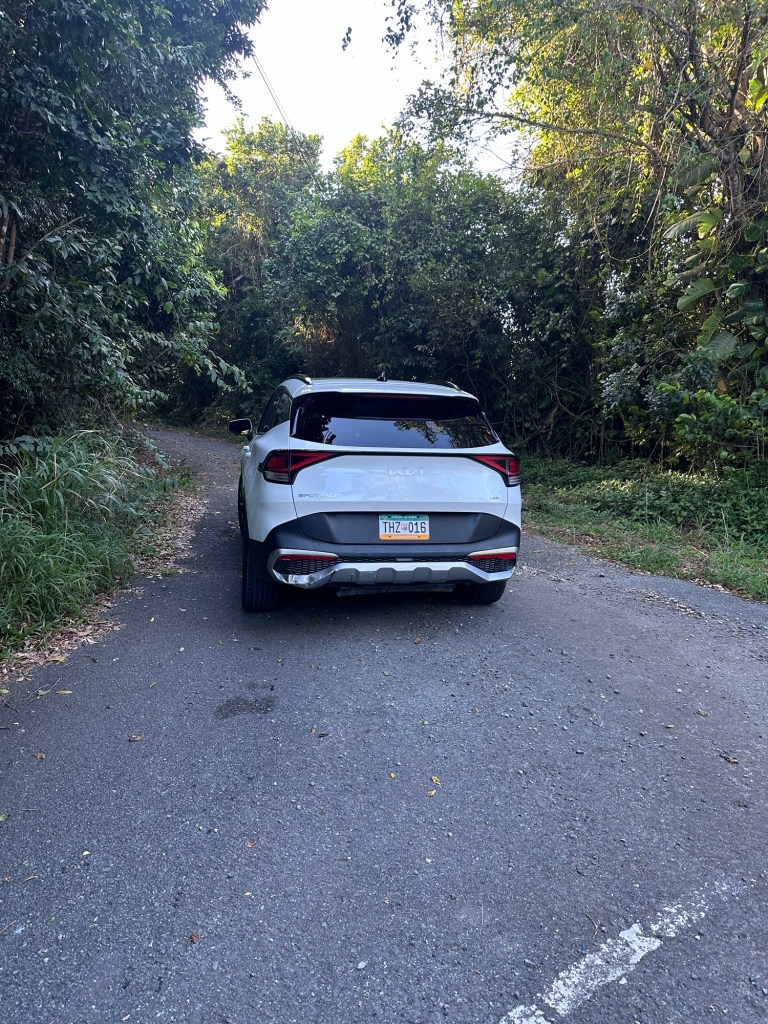
In any event, I eventually cleared the school traffic and worked my way into the mountainous interior of the western portion of St. Croix. I knew I would need to find my way to a one lane dirt highway known at Scenic Road. I had chosen to approach from the east as I’d read multiple reports of a wash-out of some variety along the western portion of Scenic Road. Beyond this, I knew I’d be looking for an unmarked small parking area at a hairpin turn. From here, there would be an unmarked trail to the unmarked summit of Eagle Mountain. So – much like Crown Mountain and Bordeaux Mountain – you really need to do your homework on this one.
About 25 minutes after leaving the Saint Croix Airport, I decided I’d driven far enough. I parked on the shoulder of Scenic Road at a point where the highway significantly deteriorated and showed little signs of any recent vehicle traffic. My iPhone was telling me I was less than 1.5 miles from the “trailhead” mentioned above. This short extra walking distance did not bother me. It wasn’t even 8:15 AM yet as I found myself within striking distance of complete success for the trip.
I enthusiastically started what I anticipated to be about a 4.5 mile round trip hike over varied terrain. I had purchased a couple of large bottles of water and a bag of chips back at the Saint Croix Airport and packed them in my small backpack as I started what felt like a real hike.
Still not adjusted to the heat and humidity of the Caribbean, I sweated heavily as I worked my way upwards. In less than half an hour, I easily located the unofficial Mount Eagle pull-off, with pink flagging marking the start of an obvious path. In another 10 minutes, I cut right on a more narrow path, once again marked by pink flagging. Though not an officially marked trail or route, I continued on the well-trodden path, encountering no other hikers on this day.
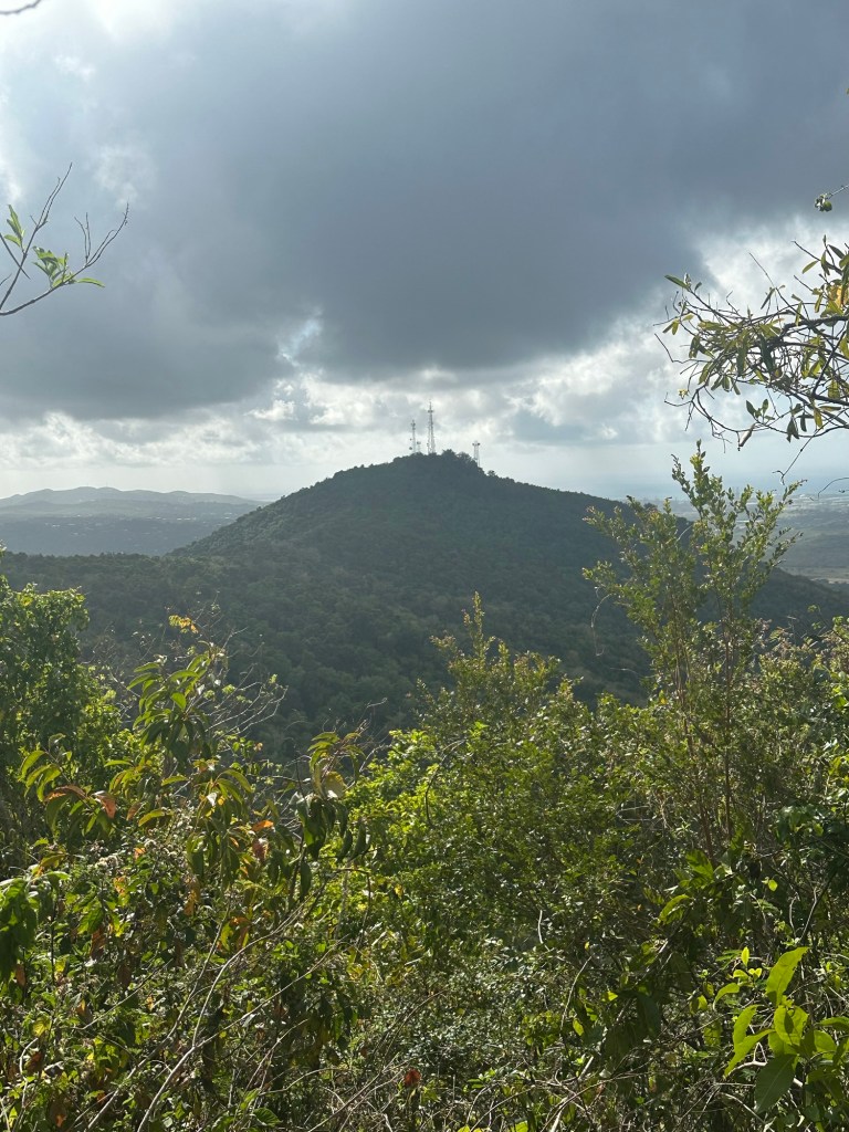
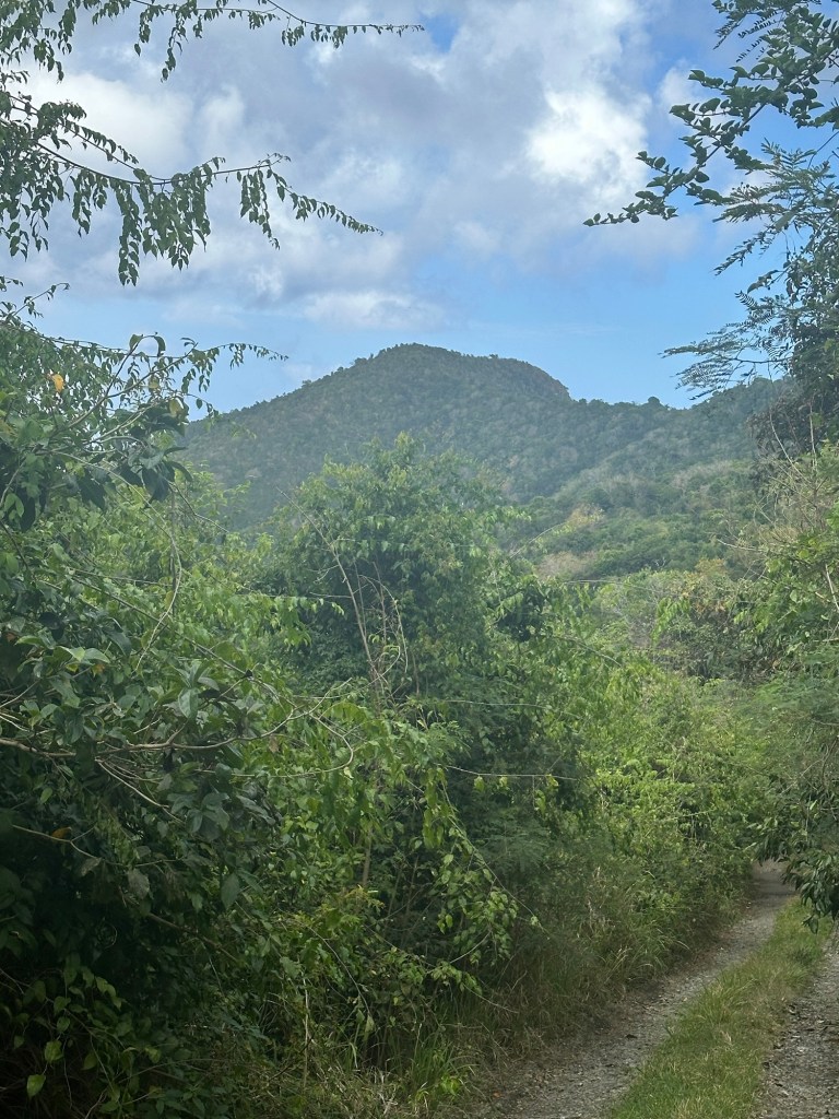
The elevation gain leveled off and I concluded that I had reached a shoulder of the mountain. Shortly before 9 AM, I emerged at a fantastic outlook where I could see that I was about equal in elevation to Blue Mountain, a very nearby peak whose summit hosts multiple radio towers.
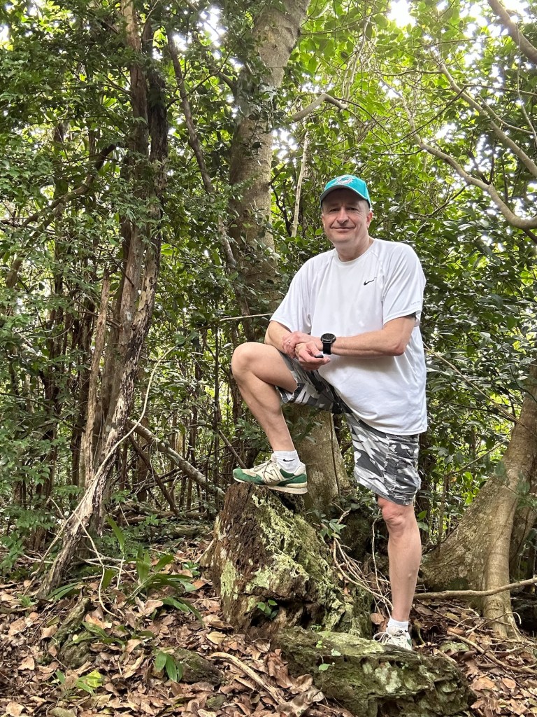
Now on the narrow summit ridge of Mount Eagle, I scanned for the cairn marking the high point. Off to the right, I spotted the obvious suspect. Unlike a traditional cairn, this appeared to be the remnants or base of an old stone tower of some variety. It was clearly circular and showed intentional construction efforts unlike most haphazardly assembled cairns.
In any event, I tagged the tippy top and then continued another 100 yards to an outstanding viewpoint overlooking Cane Bay on the northern shore of Saint Croix. Sweet success!
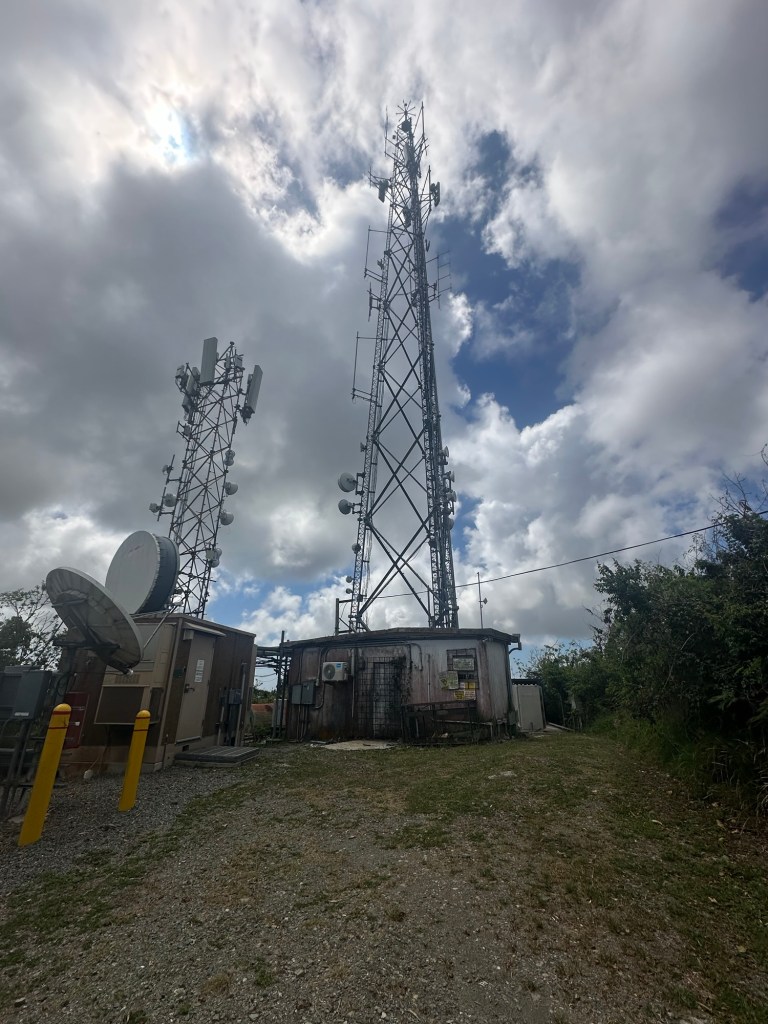
Being so far ahead of schedule, I now had nearly 8 hours to fill before my flight back to Saint Thomas. As a first order of business, I wandered off in the direction of Blue Mountain (the nearby peak with the radio towers) in a southeasterly direction, thinking that there must be a path that cuts from Scenic Road to the summit area. Much to my surprise, however, the maintained portion of the road actually leads right to the summit of Blue Mountain, cutting back nearly 180 degrees at a small utility building and leading upwards to the towers. I could find no trace of a road that exists beyond this – either from the summit of Blue Mountain or the abovementioned utility building.
I was also pleasantly surprised that there was no fence surrounding the towers and I was able to tag the highest point of land on Blue Mountain for an unexpected bonus summit.
I happily returned to my rental car and decided to spend some quality time chilling at Cane Bay Beach while pondering my USVI highpointing success. Several hours later, the Cape Air flight back to Saint Thomas went off flawlessly.
For my final order of business the following morning, I arose at dawn. With my flight home not until mid-afternoon that day, I realized this was the perfect opportunity for the road walk from my Vrbo to the summit of Crown Mountain. Not only was it a Saturday morning with very light traffic but the heat of the day had not yet built. So staying in the drainage ditch and facing traffic, I carefully walked up Crown Mountain Road, turned right at the intersection with Tower Drive, passed the US Customs and Border Protection HQ and once again found the gravel lane on the left. As I worked my way upwards, I had initially planned just to walk up to the gate … but of course, I once again found myself pushing through the vegetation under the fence and stood atop the U.S. Virgin Islands one last time.
It was a good trip.

Mark Ski ~ Great 👍 article and choice of photos !! Thanks for the share 😊 …amazing g
LikeLiked by 1 person